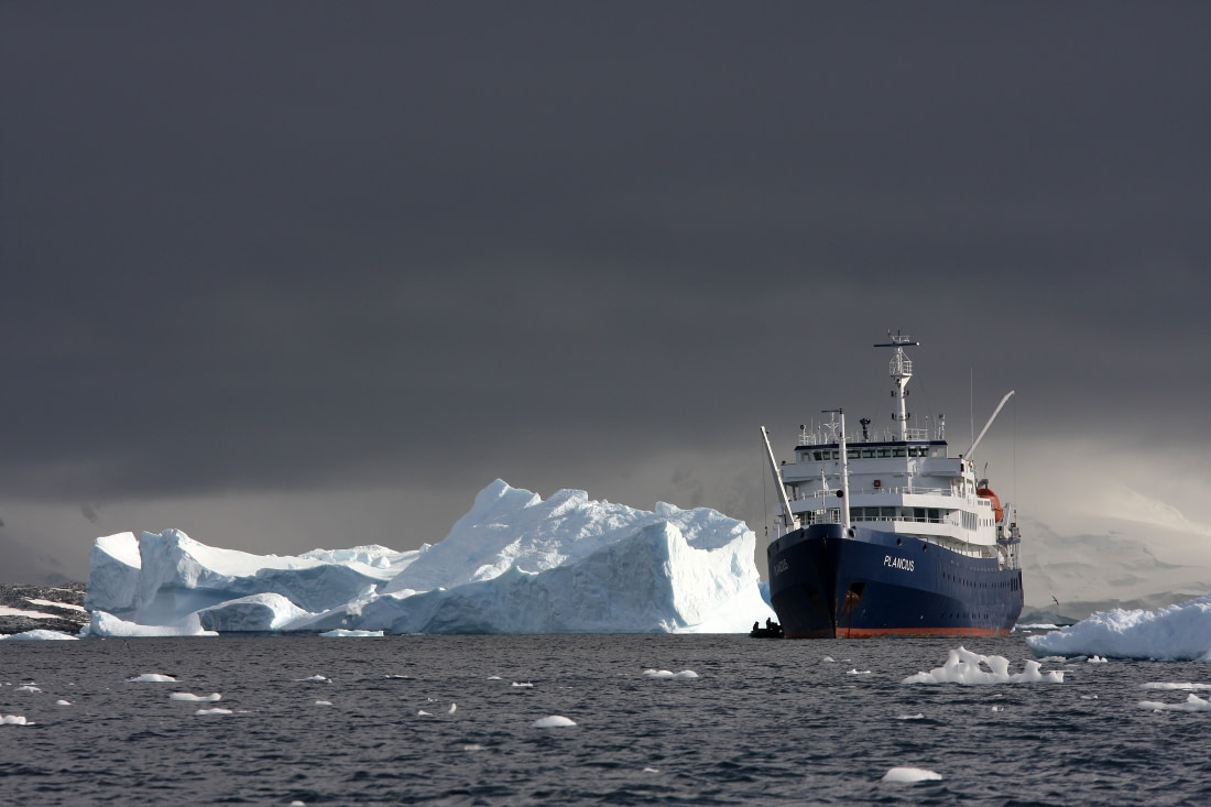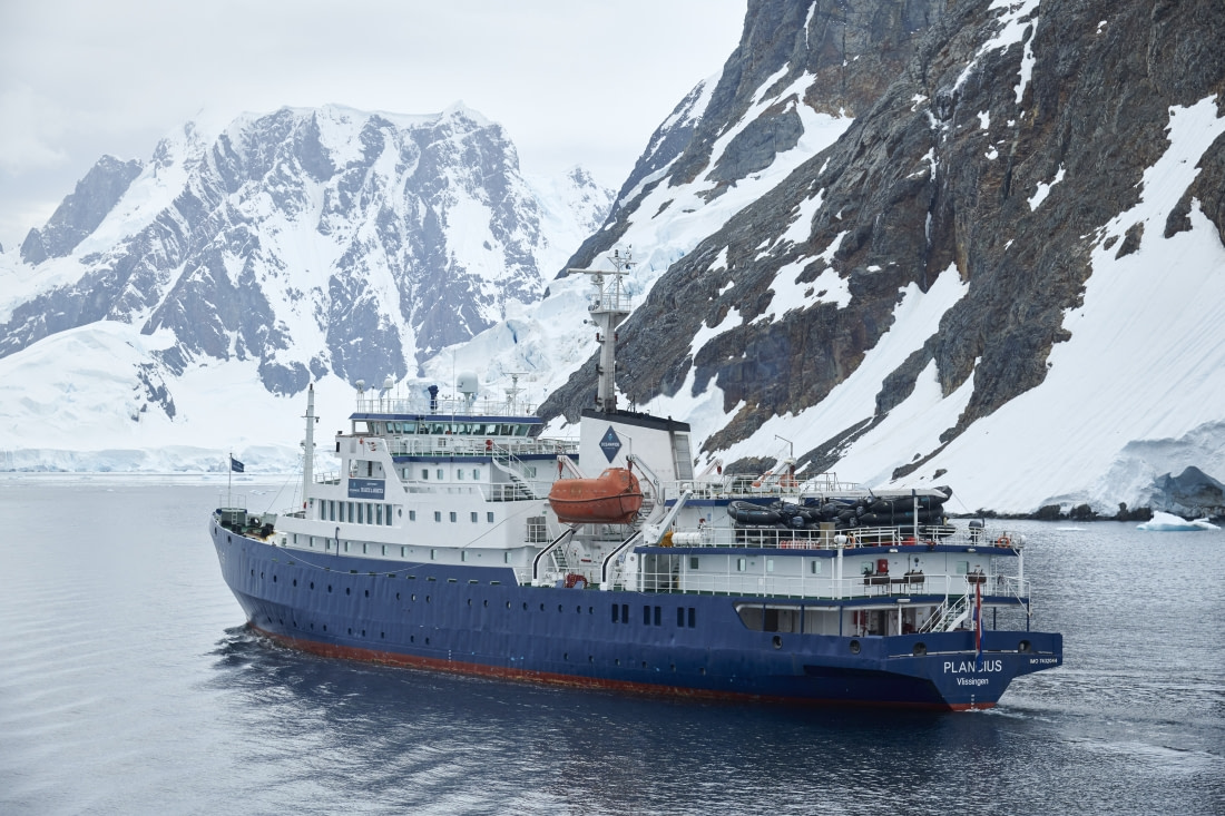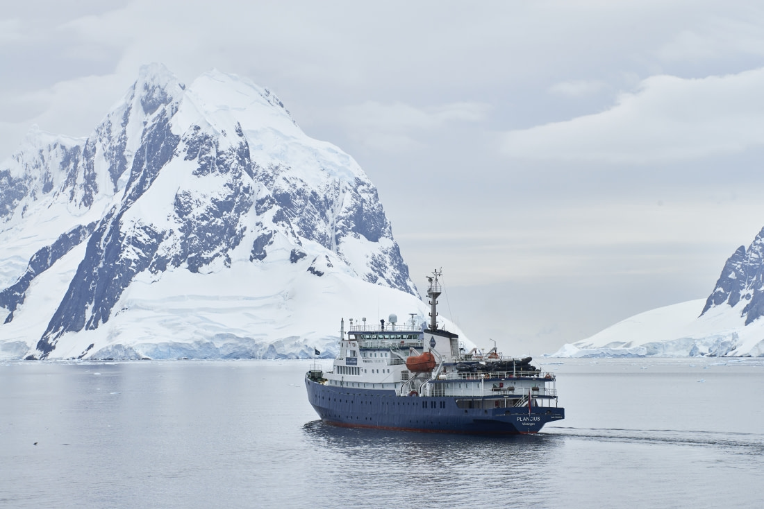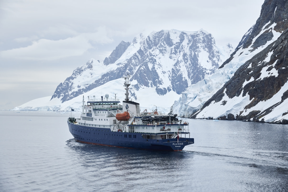
PLA11-26, trip log, East Greenland Scoresby Sund , including Long Hikes

by Oceanwide Expeditions

Photo gallery

Logbook

Day 1: Embarkation Day - Akureyi

Embarkation Day - Akureyi
Date: 16.08.2026
Position: 65°40.9’N / 018°05.1’W
Wind: ESE2
Weather: Partly Cloudy
Air Temperature: +10

The expedition cruise began beneath brilliant Icelandic sunshine in Akureyri, a picturesque town tucked into the heart of Northern Iceland. With the surrounding mountains bathed in summer light, there could hardly have been a more spectacular setting for the start of an adventure.

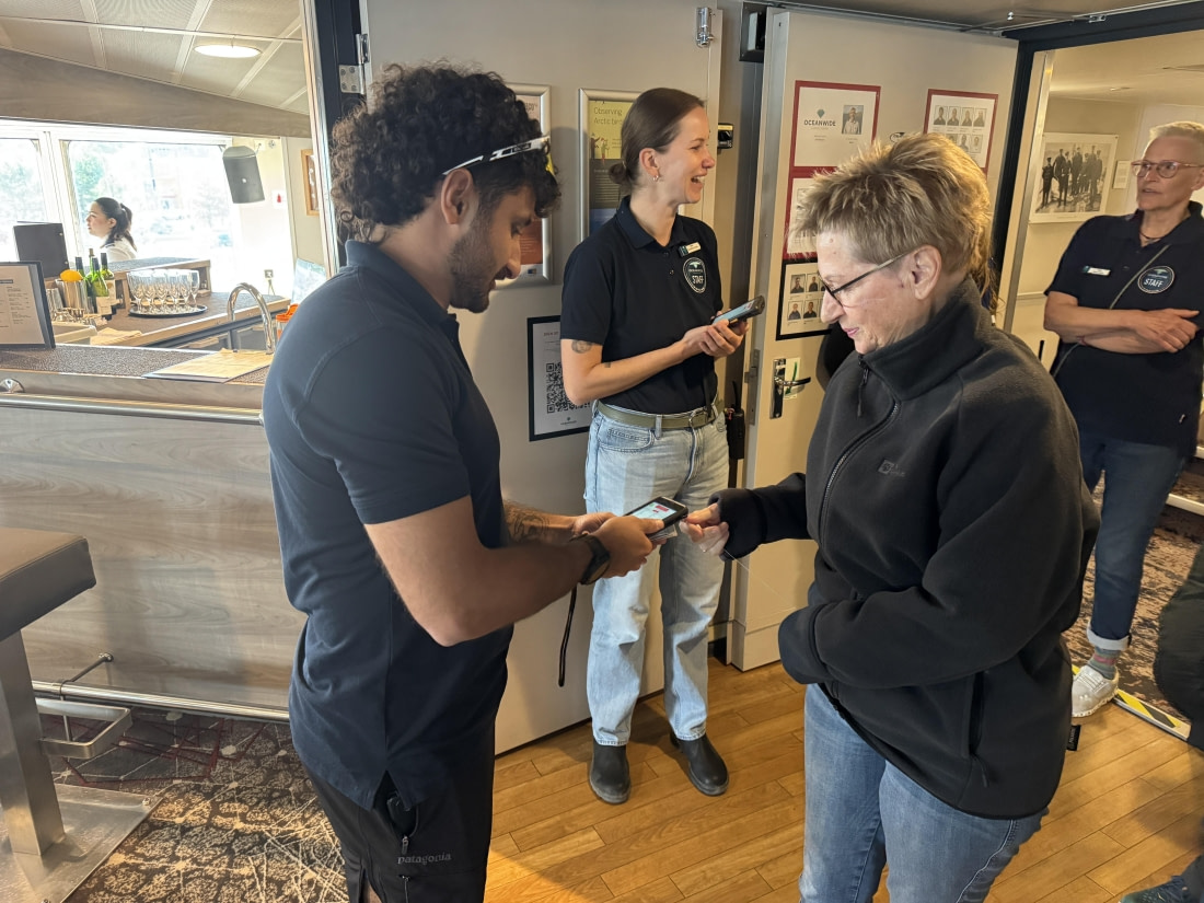
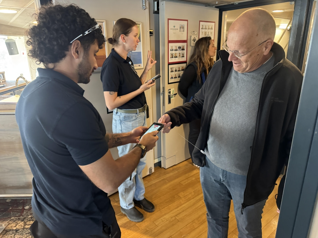
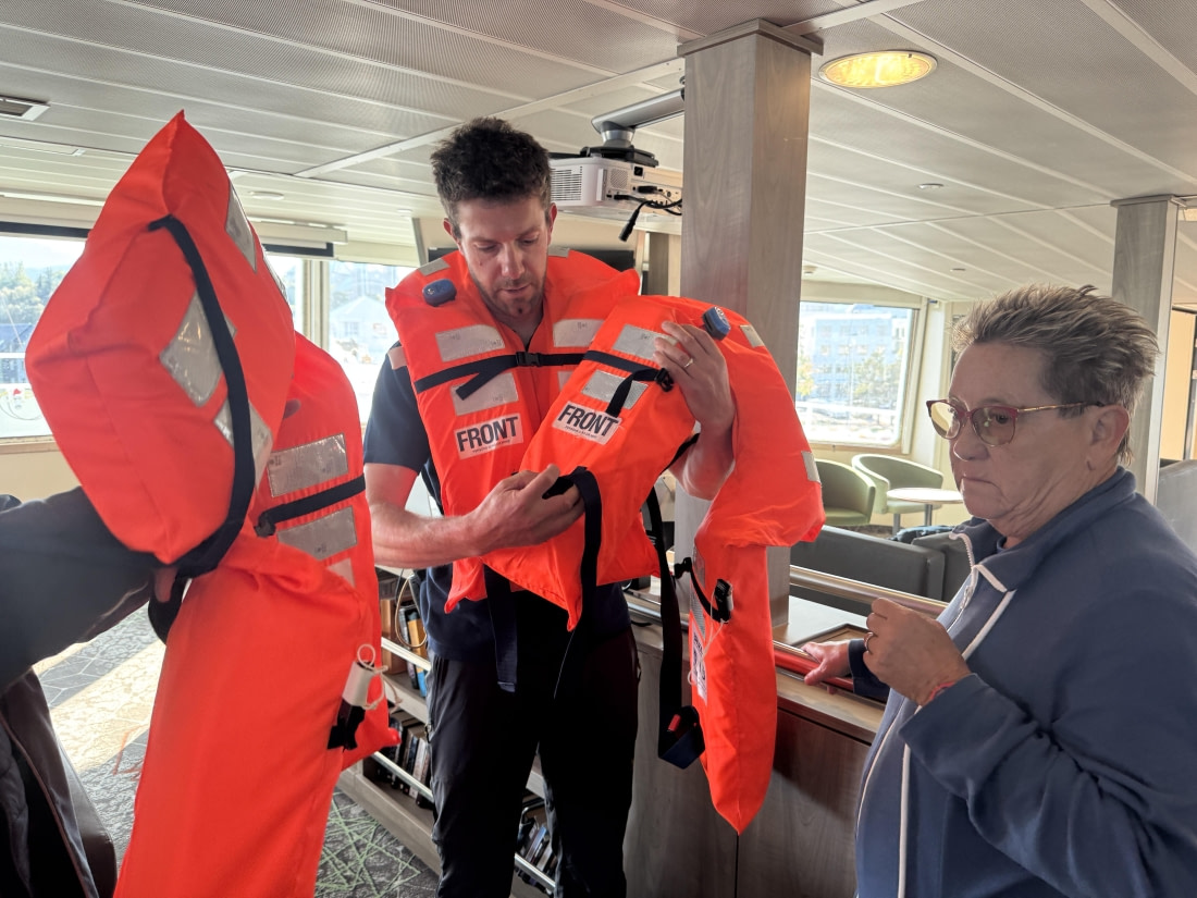
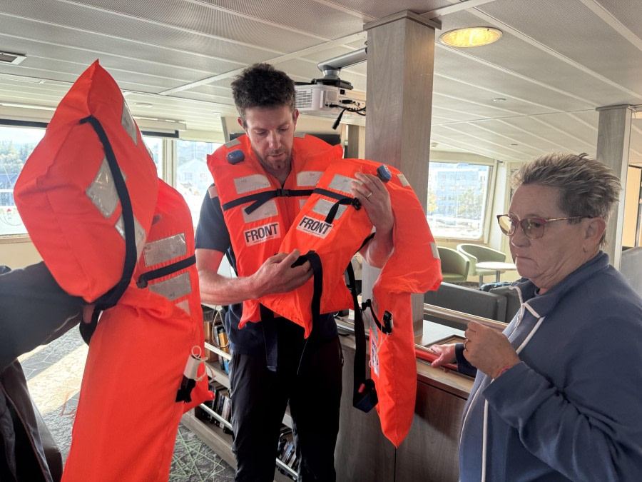
From 16:00, guests began embarking, stepping aboard with a growing sense of excitement and anticipation. Bags were delivered, cabins discovered and, before long, the ship was beginning to feel like home for the journey ahead. Safety came first, with the mandatory briefings and lifeboat drill providing an important introduction to life at sea. Once everyone had familiarized themselves with the procedures and their muster stations, attention could turn to the adventure that lay ahead.

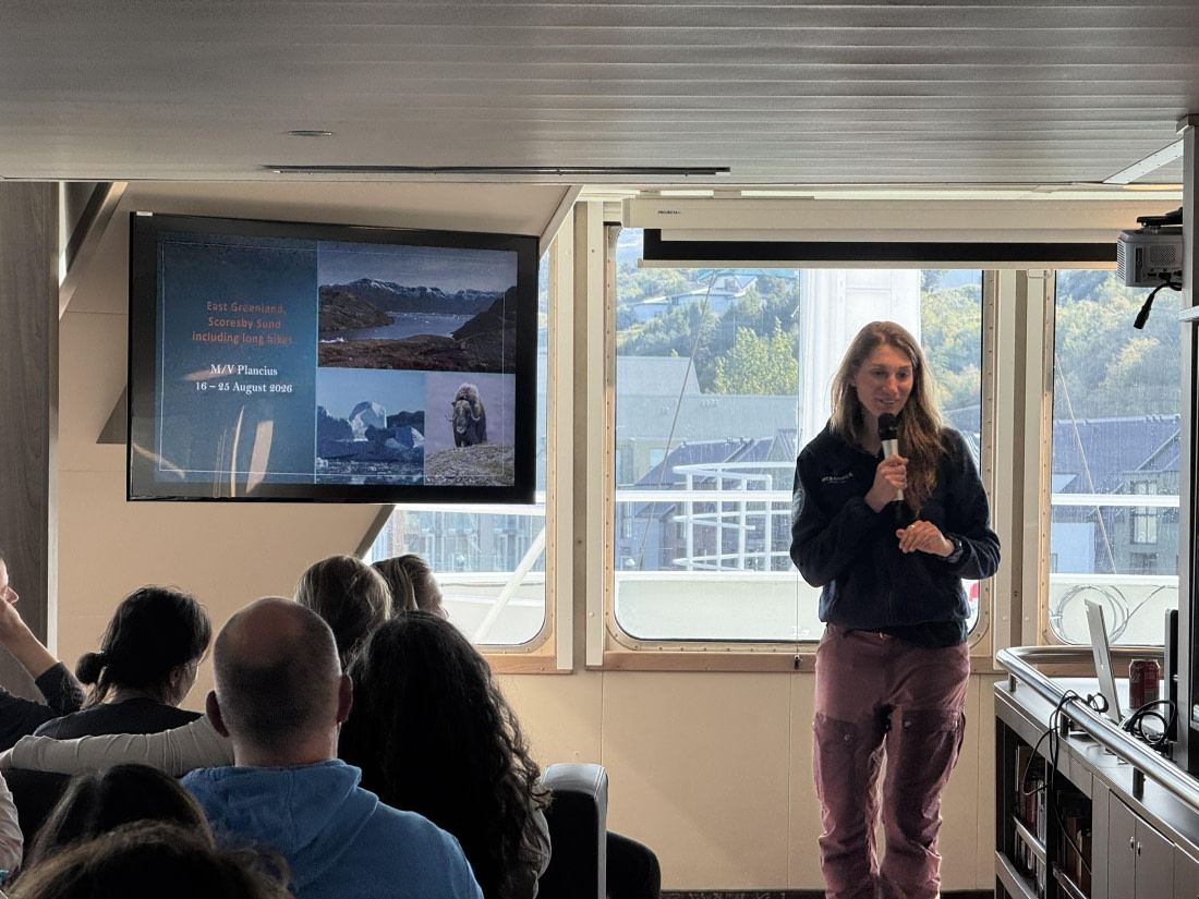
The expedition program then officially got underway with an introduction from Chloe the expedition leader, followed by an opportunity to meet the expedition team. Their enthusiasm and knowledge offered an exciting glimpse into the experiences, wildlife encounters and discoveries that awaited the guests during the voyage.

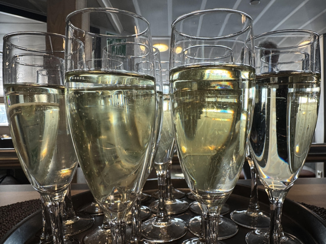
The formalities continued with a warm welcome from the Captain, accompanied by canapés and glasses of bubbles. It was a fitting way to celebrate the beginning of the expedition, as guests gathered together, exchanged introductions and raised a glass to the journey ahead.

At 18:00, the ship cast off, as Akureyri gradually slipped into the distance, the vessel began its journey out through the fjord. The scenery was magnificent, with steep mountains, calm waters and the unmistakable beauty of the Icelandic landscape providing a memorable backdrop to the first evening on board.

Then came an unexpected and unforgettable first wildlife encounter. As the ship made its way out of the fjord, a humpback whale appeared remarkably close to the vessel. Guests gathered to watch as the enormous whale moved through the water, transforming an already special departure into something truly extraordinary.

It was the perfect beginning to an expedition cruise: sunshine over Northern Iceland, a warm welcome on board, the excitement of setting sail and, before the first evening was even over, a spectacular encounter with one of the ocean's most magnificent creatures.

The expedition had officially begun — and it was already promising to be an unforgettable one.
Day 2: At Sea, Denmark Strait

At Sea, Denmark Strait
Date: 17.08.2026
Position: 68°36.1’N / 020°31.4’W
Wind: NW2
Weather: Foggy
Air Temperature: +8

Today was very much a day of preparation, learning, and anticipation as we continued our journey through Greenland. The day began with a cheerful wake-up call and breakfast in the dining room. After breakfast, we gathered in the observation lounge for an engaging talk by Michelle about the People of Greenland. It was a fascinating introduction to Greenland’s people, culture, history, and way of life, giving us a deeper understanding of the place we are travelling through. The morning continued with an important AECO, bear safety, and Zodiac briefing. This mandatory session covered the essential safety procedures we will need to follow during our upcoming excursions. Given the remote environment and the possibility of encountering wildlife, it was an important and very practical part of preparing for our adventures ashore. After lunch, the expedition team began distributing our rubber boots. We were called deck by deck to collect them from the boot room, and it suddenly felt very real that our shore excursions were getting closer. Later, Marco and Charlotte led a briefing about the Explorer/Extended Walk. This was mandatory for anyone wishing to participate and gave us a better idea of what to expect from the activity, as well as how to prepare for the walk. In the afternoon, we returned to the observation lounge for a lecture with Sven about the geology of Greenland. Learning about the geological forces that have shaped this enormous island added another dimension to our understanding of the spectacular landscapes around us. The mountains, cliffs, ice, and rock suddenly seemed to tell a much older story. The day finished with our Daily Recap, when we met with the expedition team to reflect on everything we had learned and hear about what was ahead. We then enjoyed a plated dinner in the dining room. It was a busy but rewarding day, filled with fascinating information and plenty of preparation. We now feel much better equipped for the adventures ahead—and increasingly excited to finally get out and experience Greenland for ourselves.After welcoming passengers on board, we sailed overnight towards the northwestern part of Spitsbergen. We arrived early in the vicinity of Danskøya, a large island north of Albert I Land. Early in the morning, our Captain crossed the strait of Sørgattet to enter the large area known as Smeerenburgfjorden. Slowly, we sailed into it, enjoying great views of all the small bays located to the east of our position, many of them featuring various glaciers.

Day 3: Bjørneøer & Jyttehavn

Bjørneøer & Jyttehavn
Date: 18.08.2026
Position: 71°04.3’N / 025°38.1’W
Wind: N1
Weather: Clear
Air Temperature: +15

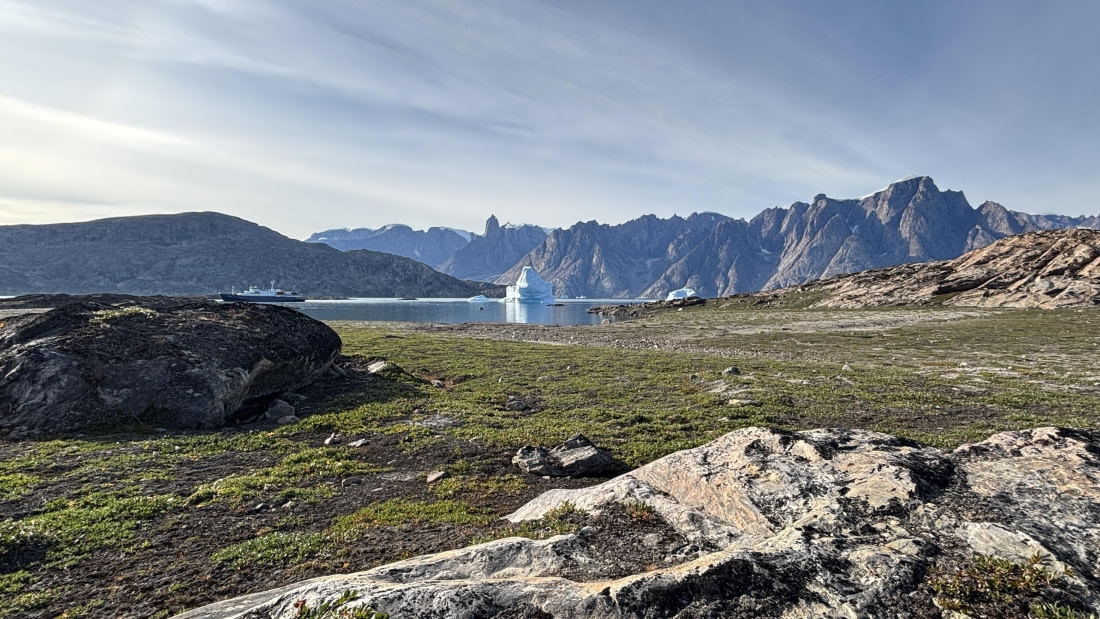
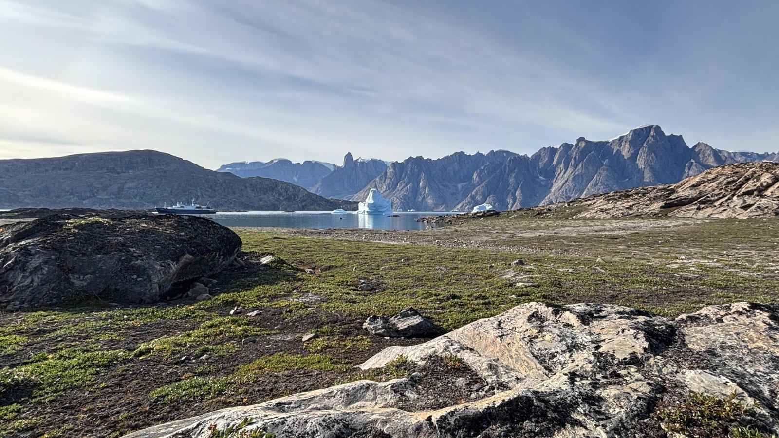
First day in Greenland! We woke up to clear blue skies, no wind and huge icebergs floating past the windows at breakfast. We lowered the zodiacs and set out to explore the Bjørneøer, or the “Bear Islands”, in Scoresby Sund.

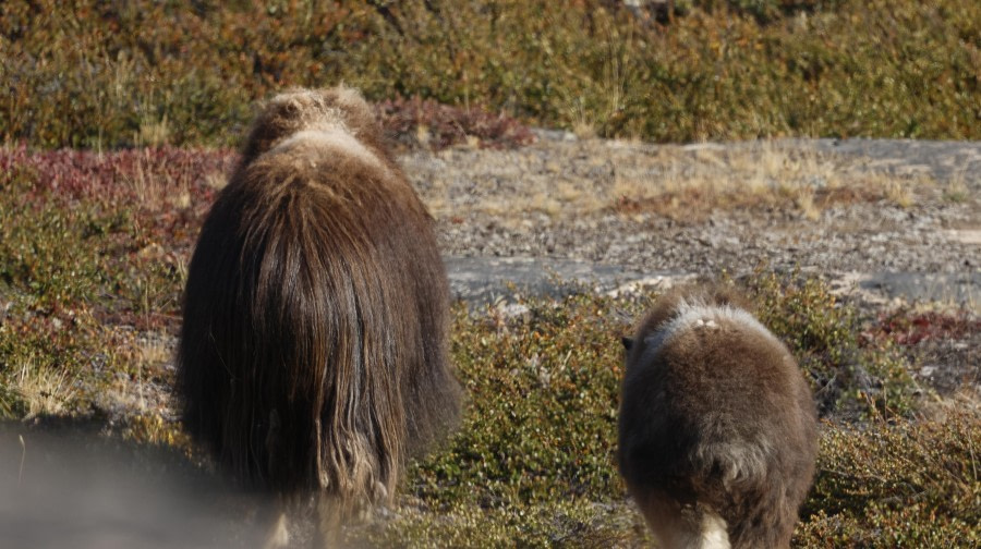
We cruised for 3 hours through narrow inlets surrounded by dramatic mountains, rocky coastlines and towering icebergs. The scenery was spectacular, with the clear skies giving us wonderful views across the fjords. We were also lucky with wildlife, spotting muskox grazing Later in the morning, the long hikers were dropped off on the island Taseertit for an all-day hike. The landscape was vast and untouched, with colourful tundra, rugged mountains and ice-filled waters. It was a fantastic opportunity to experience East Greenland on foot and appreciate just how wild and remote this part of the world is. We were lucky enough to spot an Arctic hare and several muskox. Seeing these animals in such a remote environment was a real highlight.

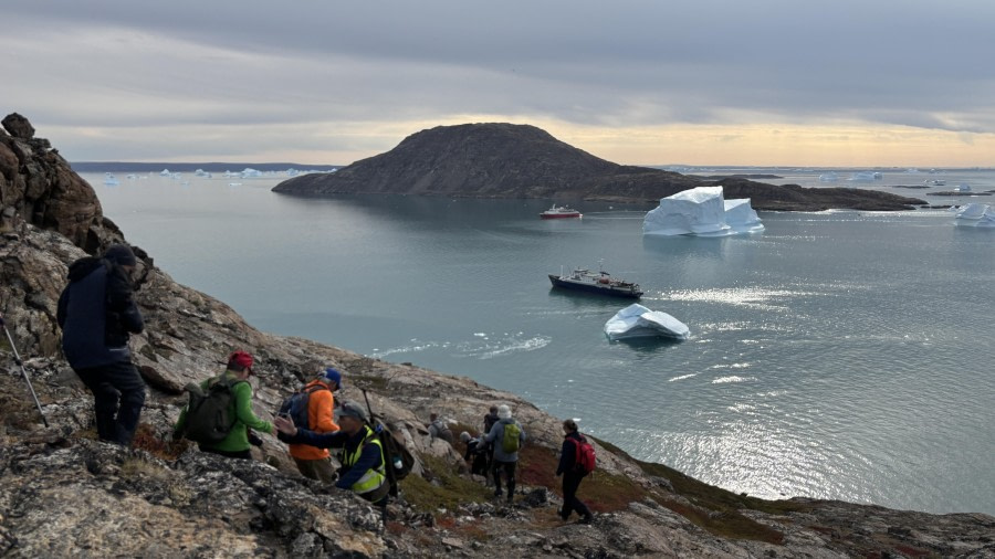
In the afternoon, we landed at Jyttehavn, a small harbour on the most western of the Bear Islands. We divided into shot, medium and long hikers and headed out for a hike across the tundra, enjoying wonderful views of the surrounding fjords and icebergs. With the sun still shining and almost no wind, conditions could hardly have been better for exploring.

After recap and talks on mountains and icebergs we had a delicious dinner as we cruised westwards through Øfjord towards tomorrow’s landing.

Day 4: Rypef jord & Harefjord

Rypef jord & Harefjord
Date: 19.08.2026
Position: 70°59.5’N / 027°42.9’W
Wind: NNW2
Weather: Clear
Air Temperature: +17

After a fantastic first day in Greenland we woke up to another sun drenched day. Clear blue skies, the sun shining abundantly and no wind. Perfect conditions to be off the ship and enjoy Greenland to the fullest.

For our morning landing we had entered Rype Fjord. Rype Fjord is a deep, rugged branch of the Scoresbysund fjord system in eastern Greenland. Measuring roughly 30 km long and about 5km wide. It features towering mountain walls, active glacial calvings from the Eielson Glacier at its head, and local wildlife like muskoxes and arctic hares. The ultra long hikers would also use Rype Fjord as the start of their all day hike.

Our landing this morning was not on the beach as the tide was dropping and the waters in front of the landing site were very shallow. So we landed on the rocks instead while our skilled zodiac drivers kept the noses of the zodiacs against the stones. Once we were all safely on land, the hike leaders would elaborate on their plans for the morning, helping us to chose the group of our liking. The long hikers set off for a proper morning workout while trying to gain some altitude and cover a good distance. The medium group planned to find a good balance between hiking and having time for photography, wherea the leisurely group focussed mainly on relaxation and enjoyment. In the leisurely group, guide Michelle found some interesting scientific material; Musk Ox poop. Michelle is cooperating with the Alfred Wegener Institut in Germany where microplastics studies are being conducted. As such Michelle sends stool samples of various animals with the GPS coordinates and photos and in Germany these samples are being tested for the presence of microplastics. To avoid contaminating the samples, Michelle used aluminium foil and a paper bag to collect the material.

Later in the morning, all hiking groups were fortunate to see Musk Oxes. For the leisurely group they posed perfectly on a small mountain ridge while slowly making their way up. Of course we also enjoyed the weather. We all sat down at some point to enjoy natures’ sounds while enjoying mountain and iceberg views.

The morning had been stellar and if it wasn’t for yet another delicious lunch, we could have easily spent the entire day out in Rype Fjord.

After lunch we landed at Hare fjord, another stunning location in the wonderful Scoresbysund. Hare Fjord is a deep, remote branch as it sits closest to the massive inland Ice sheet, featuring dramatic glaciers that drop straight into the water alongside steep mountain walls and tundra slopes. The fjord takes its name from the bright Arctic white haresn that can be seen here. Hare Fjord is also called The Green Connection as in late summer the tundra slopes turn vibrants shades of green, yellow and red. The weather was still wonderful and soon the zodiacs would bring us ashore. We divided as usual in groups and set off for our hikes.

Many of us wished we would have brought shorts as it was really warm. However at the end of the hike, the expedition team had organised a so called polar plunge.

A refreshing swim in the cold arctic waters of eastern Greenland. The conditions couldn’t have been better and with a water temperature of aropund 7’C it was actually really refreshing! The ultra long hikers had made it back as well and many of us went for a short swim whereas others were struggling a bit more with the still cold water. However once back on the beach we warmed up quickly and we forgot about the cold water instantly.

Back on board we changed into dry comfortable clothing before recap followed by a delicious meal prepared by the galley team.

At night many of us enjoyed the stunning scenery filled with ice bergs looking like giant pieces of gold against a background of rugged mountains. Others called it a day and went for a well deserved sleep after a wonderfully active day. Good night everyone!

Day 5: Sydkap & Immikker t igajik

Sydkap & Immikker t igajik
Date: 20.08.2026
Position: 71°17.6’N / 023°02.3’W
Wind: W3
Weather: Clear
Air Temperature: +14

Getting out of bed and opening the blinds right away to check the surroundings and the weather conditions has become a little ritual for many of us. Much to our delight it looked beautiful out there. The sea was flat calm and the view spectacular. The sky was cloudy and small ripples on the water surface indicated a light breeze. Obviously, it was a good idea to put on an extra layer for today’s activities.

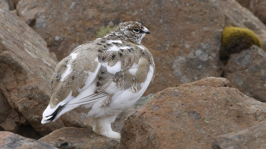
After Chloé and her team had given the okay to board the zodiacs we soon after landed at Sydkap (the South Kap). A well maintained large red cabin, almost a house, stood high on the rocks. It is used by the locals from the near-by community Ittoqqoortormiit. At first the extended hikers started their adventure to explore the mountains, slopes and valleys. They were later picked up at the beach to the east, eager to tell us about them walking along barren slopes and river beds and over open tundra. They were treated with sightings of rock ptarmigans, Arctic hares and musk oxen.

Gathering all others at the beach, the guides described their plans for each group. Seeing the terrain was a big help for us to take the best decision who to join. While the curious walkers took a closer look at the cabins, the fast hikers where already some dozens of meters above sea level and soon out of sight. The medium group took it a bit slower but gaining height as well. A thunderlike sound however made them freeze on the spot to watch the ice berg below. As a large piece of ice fell off, the berg lost its balance and started to turn. Although we were all hoping for, it did not have to do a full 180° turn to find its new balance. It was impressive to watch the rolling giant, to feel its power and to listen to the unique sounds of moving water and ice. While climbing higher these unique sounds of thunder filled the air time and again coming from the icebergs stranded in the Scoresby Sund below us, far and close.

After lunch on board we landed at a small island just off Sydkap named Immikkeertikajik meaning the little island. To pay tribute to the Greenlanders we use their name for the island although we struggle to pronounce it. Just above the landing site we discovered the overgrown remains of winter houses from the Thule people living here some hundred years ago. The squarely positioned walls were fully overgrown with grasses and willow trees. The low-lying entrance was clearly visible and pointed towards the water. The long corridor, through which one had to crawl, was clearly visible leading up to a larger opening where the families had found shelter from the harsh winter weather. We could only theoretically imagine how it must have been.

Some of us hiked to a view point to look down to a lower area where smaller stones on the ground formed a regular circle of some meters in diameter. Michelle explained that these rocks were used to weigh the tents of the Thule people used during the summer when they lived a more nomadic life.

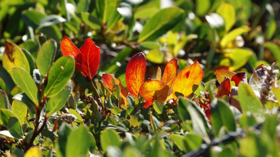
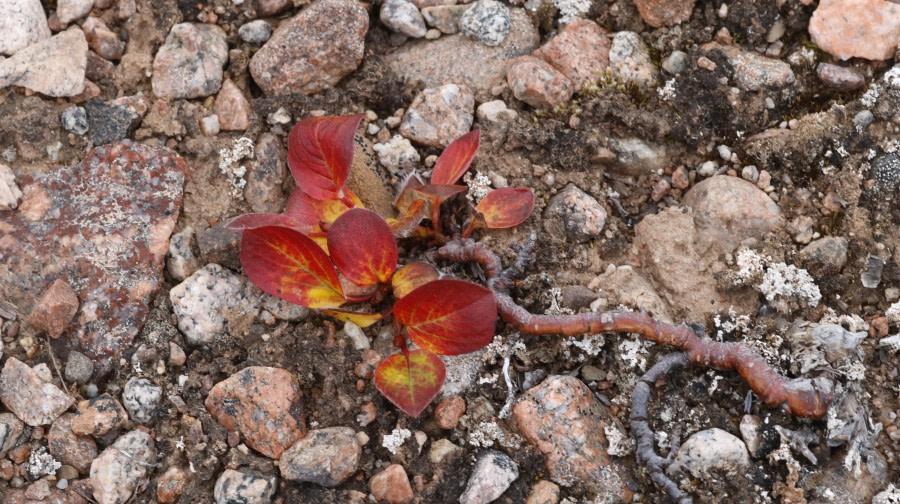
Hiking up a steep rocky face we passed a willow growing on the rock with a very thick stem. It could very well be 50 or more years of age. We discovered many more beauties and took a closer look using Ursula’s amazing magnifying glasses named Lichen Candelaris. It helped to open the window into a normally hidden world of details, structures, patterns and colours of various plants such as Alpine bistort, mountain avens and Arctic bell heathers.

While the long hikers reached almost the highest point of the island the mediums hikers walked up to an exposed ridge below. We all got a beautiful view towards the area east of our morning landing site. With binoculars we scanned the open tundra looking for musk ox. But no luck this time. Instead, we discovered the explorative hikers waiting to be picked up and half a dozen colourful cabins near the beach. The hunters of Ittokoortoormiit come here using small boats to hunt for musk ox. They are an important food source and connection to their culture grown over many generations.

Then a guest found a piece of egg shell from a goose. Mark explained the regular and more perpendicular edges indicated that the chick had hatched. Later we found remains of another egg with holes. Their small sizes pointed towards a stoat rather than a fox as the predator. Ursula also took the opportunity of an outdoor lesson and explained a principle in nature found among Arctic animals and plants. To conserve energy by having a lower body surface to volume ratio. Using the packaging of a Toblerone she illustratively anchored this knowledge in our memories.

Soon after we were all back on board. Plancius lifted anchor and sailed eastwards passing huge icebergs of various shapes, colours and appearances. Later she started to roll a bit as the sea got wavy and the sky turned overcast. Signs that the weather was changing from sunny and very hot to the more authentic conditions of the Arctic.

Day 6: Hurry Fjord & It toqqortoormiit

Hurry Fjord & It toqqortoormiit
Date: 21.08.2026
Position: 70°36.9’N / 022°27.4’W
Wind: NE2
Weather: Cloudy
Air Temperature: +11

Our day began with a wake-up call from Chloe, our Expedition Leader, before we headed down for a delicious breakfast. Soon after, we boarded the Zodiacs and made our way to Hurry Inlet, named after the British explorer and Arctic explorer Sir Richard Hurry. Hurry Inlet lies on the eastern side of Scoresby Sund, one of the largest fjord systems in the world. The surrounding landscape was typical of the High Arctic, with vast open valleys, rocky slopes and sparse vegetation. Once ashore, we split into our long, medium and short walking groups and spent around two hours exploring the area on foot. Some of us saw Musk Ox, Arctic Fox and the beautiful Poppy!

After lunch, we headed out again, this time to Ittoqqortoormiit, one of the most remote settlements in Greenland. The town was established in 1925 and is home to a small Inuit community whose traditional way of life has long been closely connected to hunting and the surrounding Arctic environment. Walking around the settlement gave us a fascinating insight into everyday life in the community. We watched the local sled dogs being fed and noticed polar bear skins hanging over balconies, reminders of the importance of hunting in the region. We also saw narwhal tusks and walrus skulls in a lovely ladies home who invited us in for coffee.

By this point, the wind had started to pick up and the temperature felt considerably colder than it had over the previous few days. After enjoying such warm weather earlier in the expedition, the change was certainly noticeable as we made our way back to the ship. Once onboard, we settled in for a longer recap covering ‘Life of the Inuit’, ‘Women Explorers of the Arctic’, the ‘Arctic Hare’ and the remarkable ‘Tardigrade’. It was a varied evening of history, culture and natural history. Then came one of the highlights of the day: an Arctic BBQ outside on deck. We were treated to plenty of delicious food, free drinks, music and dancing. With everyone in high spirits after a busy day ashore, we enjoyed a fantastic evening together, surrounded by the Arctic landscape.

Day 7: Vikingebugt

Vikingebugt
Date: 22.08.2026
Position: 70°16.8’N / 025°18.3’W
Wind: W3
Weather: Overcast
Air Temperature: +7

Awoken by the call from Chloe, we peered out through the porthole and noticed that the weather had changed, as expected. The good sunny days were left behind, and misty weather with some drizzle welcomed us today.

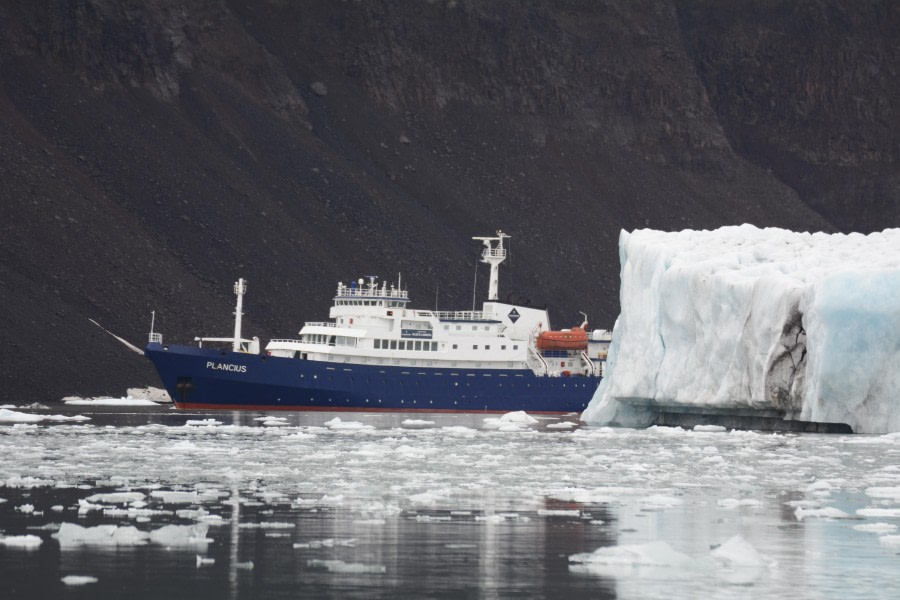
MV Plancius was sailing into Vikingbugt, a 5 km wide and 8 km long bay located on the southern side of Scoresby Sund and indenting the Blosseville Coast. Navigating into the iceberg-filled bay, we made our way towards the southwestern corner of the fjord. Right before breakfast started, the expedition staff announced that four polar bears had been spotted resting on the stark glacier moraine. Some of us ventured onto the outer decks and the bow and, although they were only visible through a scope, had a chance to see the King of the Arctic.

At 9 o’clock, we gathered at the gangway to start our Zodiac cruise. First visiting the thundering waterfall spilling glacier meltwater into the fjord, we then moved towards the western side of Bredegletscher, where we cruised among growlers, bergy bits, and icebergs of all kinds of shapes and colours.

Bredegletscher is a tidewater outlet glacier flowing northwards from the Geikie Plateau, an icefield that covers about 50,000 km² of the Volquart Boon Kyst peninsula, located south of Scoresby Sund.

Whilst cruising in the ice-filled waters of the fjord, Marco spotted a polar bear in the water, swimming alongside the glacier front and away from the Zodiacs. We watched the bear from a safe distance until it disappeared into the maze of glacier ice. Soon afterwards, a female polar bear started moving along the upper moraine, and with binoculars we could see her two cubs following her around the boulders and scree slopes.

But the surprises were not over for the morning. As our guides moved towards the ship to bring us back on board, another bear was spotted by the bridge team walking alongside the basaltic scree slope on the western side of the bay. We quickly climbed up the gangway and walked straight to the bow. Thanks to the excellent manoeuvring of the captain, we were able to observe this magnificent animal in its natural environment.

During lunchtime, MV Plancius sailed out of the fjord towards the northeastern corner of Vikingbugt. However, due to the poor visibility and the risk of encountering bears on land, our Expedition Leader, Chloe, opted for a Zodiac cruise rather than a landing. The boats were launched, and off we went once more into the ice-filled waters around Helgenæs, observing the impressive and beautiful basaltic columns despite the rainy afternoon.

Later, during the recap, we learned from Karoline that this specific area of East Greenland was formed by continuous and massive basaltic flood eruptions that started around 58–60 million years ago during the opening of the North Atlantic. These eruptions are closely connected with the volcanism found in the British Isles and the Faroe Islands.

A plated dinner prepared by Chef Khabir and the galley team was eventually served in the restaurant. Afterwards, we gathered in the lounge to exchange pictures, stories, and impressions of yet another great day in Scoresby Sund.

Day 8: Romer Fjord and Turner Sound

Romer Fjord and Turner Sound
Date: 23.08.2026
Position: 69°43.8’N / 023°41.7’W
Wind: NNE4
Weather: Overcast
Air Temperature: +10

The plan had been a fjord of two halves. A morning landing at Rømer Fjord, then a shift across to Turner Sound in the afternoon to cruise its narrow, fast-running channel. In the end the weather made the decision for us, and it made a good one. Conditions in Rømer Fjord were better than anything we were likely to find at Turner Sound, so we stayed exactly where we were and let the day unfold around us. The ship held her position all day, and nobody was sorry for it.

The morning landing put us ashore on Turner Ø, a rugged and mountainous corner of East Greenland. The draw here is the small hot springs, warm pools that gather near the coast in a landscape that gives no other hint of warmth. They are modest things, and largely left alone for scientific observation, but there is something quietly remarkable about finding warm water at all in a place like this. From there we climbed to stand above the basalt columns, the tall regular pillars of old volcanic rock that make up so much of this coastline and looked out over the fjord from above.

While the landing was underway, the divers were in the water on the first of two dives. The morning dive took them onto an iceberg, always a striking place to be below the surface, working around the submerged blue mass of ice with the light filtering down through it.

After lunch, with the ship still settled in the fjord, the afternoon became a zodiac cruise of Rømer Fjord itself rather than the run across to Turner Sound. The better water was here and cruising it slowly gave us time to work the shoreline properly. The highlight came in the shape of an Arctic hare, and a notably large one, spotted on the land as we cruised. They are handsome animals, pure white and heavier than people expect, and to see one at size is a treat.

The divers, meanwhile, took their second dive of the day on the basalt columns, dropping down alongside the same volcanic rock formations that the shore party had stood above in the morning. Two dives, an iceberg and a wall of ancient columns, is a strong day's diving by any measure.

By late afternoon the day's activity had wound down and the ship remained where she had sat since morning. We gathered in the observation lounge for recap, where the team ran through the plan for the day ahead and shared a few stories from the fjord, before a plated dinner was served in the dining room.

It was a day that could easily have been spent chasing a second location and arriving to worse conditions. Instead, we backed the fjord we already had, and it repaid us. Hot springs and basalt columns above the water, an iceberg and those same columns below it, and a large white hare to round out the afternoon. Sometimes the best call is to stay put.

Day 9: At Sea, Denmark Strait

At Sea, Denmark Strait
Date: 24.08.2026
Position: 67°219.4’N / 019°27.5’W
Wind: NE5
Weather: Drizzle
Air Temperature: +8

The Denmark Strait crossing provided a suitably dramatic final chapter to the expedition. A three-metre swell rolled beneath the vessel as she made her way across the strait, while overcast skies and a slight drizzle created a distinctly atmospheric backdrop. With the sea crossing, the day became an opportunity to reflect, learn and hear more about the remarkable work that takes place both on and beneath the polar waters.

The morning began with a lecture from Charlotte on one of the Arctic’s most iconic inhabitants: the polar bear. Her presentation offered fascinating insight into their behaviour, ecology and adaptations, bringing the world of these magnificent animals vividly to life.

This was followed by a presentation from the dive team, who shared an insight into their operations and some of their experiences beneath the surface. Their stories provided a fascinating perspective on the expedition, revealing another side of the environments through which the vessel had travelled.

Just before lunch, the expedition team made their final collection of the guests’ muck boots. It was a small but significant moment, signalling that the landings and shore excursions had come to an end and that the journey was now entering its final stage.

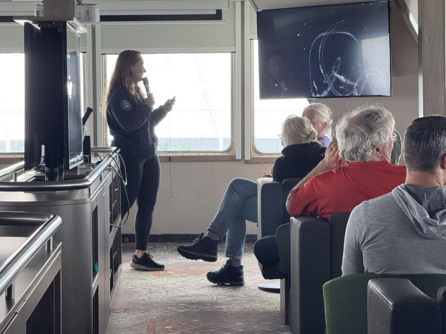
During the afternoon, Koen took guests on a journey beyond the current expedition, presenting the many other destinations visited by Oceanwide Expeditions. The presentation offered plenty of inspiration for future adventures. Then came Chloe’s legendary Plankton lecture. With her trademark enthusiasm, she once again demonstrated that some of the ocean’s smallest inhabitants can provide some of its biggest stories. It was a fitting reminder of the incredible interconnectedness of the marine ecosystems encountered throughout the voyage.

As evening approached, the expedition came to a celebratory close with the Captain’s Farewell drinks. Guests, expedition staff and crew gathered together to raise a glass to the journey, the experiences shared and the memories created along the way and Gabi premiered the slideshow that she had been putting together for the guests during the voyage The final plated dinner onboard followed, bringing everyone together around the table one last time. Outside, the Denmark Strait continued to roll beneath the ship, while inside there was a sense of achievement, camaraderie and perhaps a little reluctance to say goodbye.

After days of exploration, wildlife encounters, lectures and adventures in some of the world’s most remote waters, the voyage was drawing to a close. The Denmark Strait had provided a suitably memorable final crossing — and one last reminder that, on an expedition, the journey itself is always part of the adventure.

Day 10: Disembrkation - Akureyri

Disembrkation - Akureyri
Date: 25.08.2026
Position: 70°41.36’N / 027°44.9’W
Wind: NE2
Weather: Sunny
Air Temperature: +14

Our final morning on board arrived far too quickly. After such an incredible journey, it felt strange to wake up knowing that this was our last morning on Plancius.

At 07:30, we placed our luggage outside our cabins before heading to breakfast. There was a quiet, reflective feeling on board as we enjoyed our final meal together and prepared to leave. At 08:30, it was time to disembark. As we made our way down the gangway, we said our final goodbyes to the Expedition Staff and crew who had shared this incredible journey with us. It was hard to say goodbye after so many days filled with unforgettable experiences.

Once ashore, we boarded the buses and set off towards Reykjavík, leaving Plancius and our Arctic adventure behind. We left with tired bodies, full hearts and minds still processing everything we had experienced. It had truly been an amazing trip, filled with memories, stories and moments that will stay with us for a very long time.

The expedition was over, but the adventure—and the memories—will continue long after we reach home. Goodbye, Greenland—and goodbye to everyone who shared this unforgettable adventure. Until the next expedition.

On behalf of Oceanwide Expeditions, Captain Christophe Colaris , Expedition Leader Chloe Marechal, Hotel Manager Marleen Van Moorsel and all the crew and staff of M/V Plancius, it has been a pleasure travelling with you.

Details

Tripcode: PLA11-26
Dates: 16 Aug - 25 Aug, 2026
Duration: 9 nights
Ship: m/v Plancius
Embark: Akureyri
Disembark: Akureyri

Have you been on this voyage?

Aboard m/v Plancius

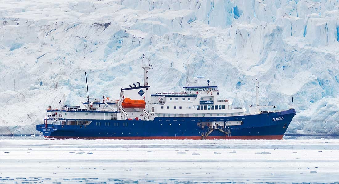
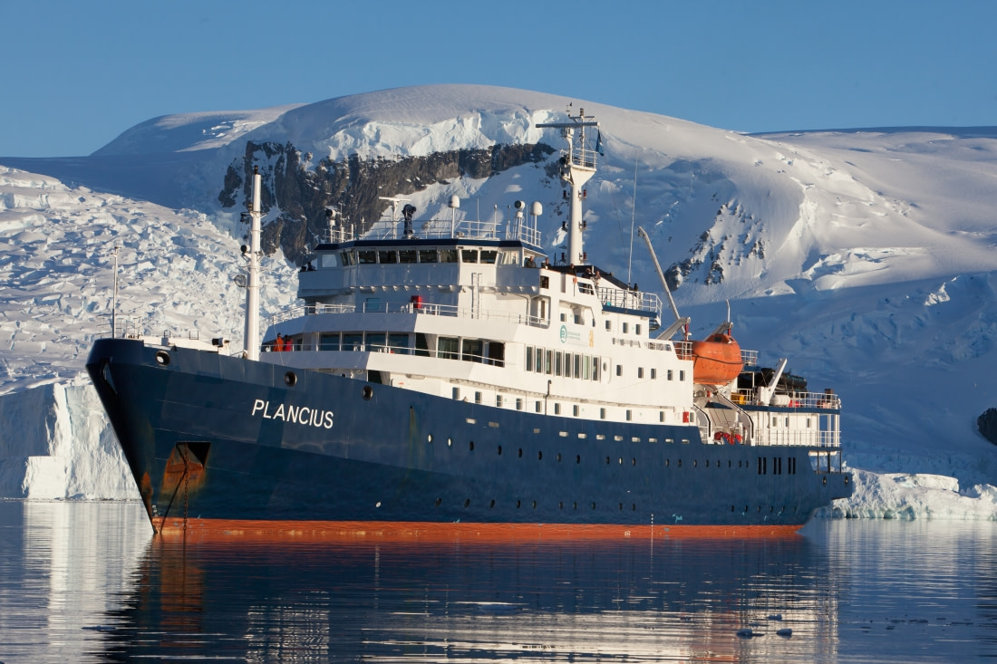
Our most longstanding vessel, Plancius is a classic choice for some of our most popular polar voyages.

More about the m/v Plancius »
Loading