Wildlife finds a way – especially in Greenland
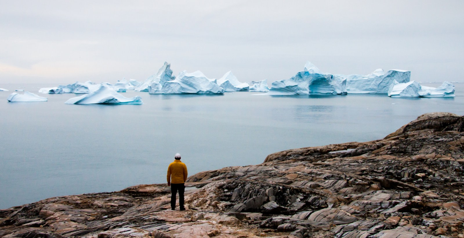
Despite Greenland’s harsh environment, life has found a way to thrive there. If you’re lucky enough to embark on a Greenland cruise, you stand the chance of encountering many species of cold-adapted mammals, birds, and fish.
Over recent decades, comprehensive research has been undertaken into the migratory patterns of these animals. Migrations are typically triggered by physical or biological conditions, including climate, food, and breeding. These patterns are different for each species, and each pattern tells a unique story.
Satellite animal tracking in Greenland
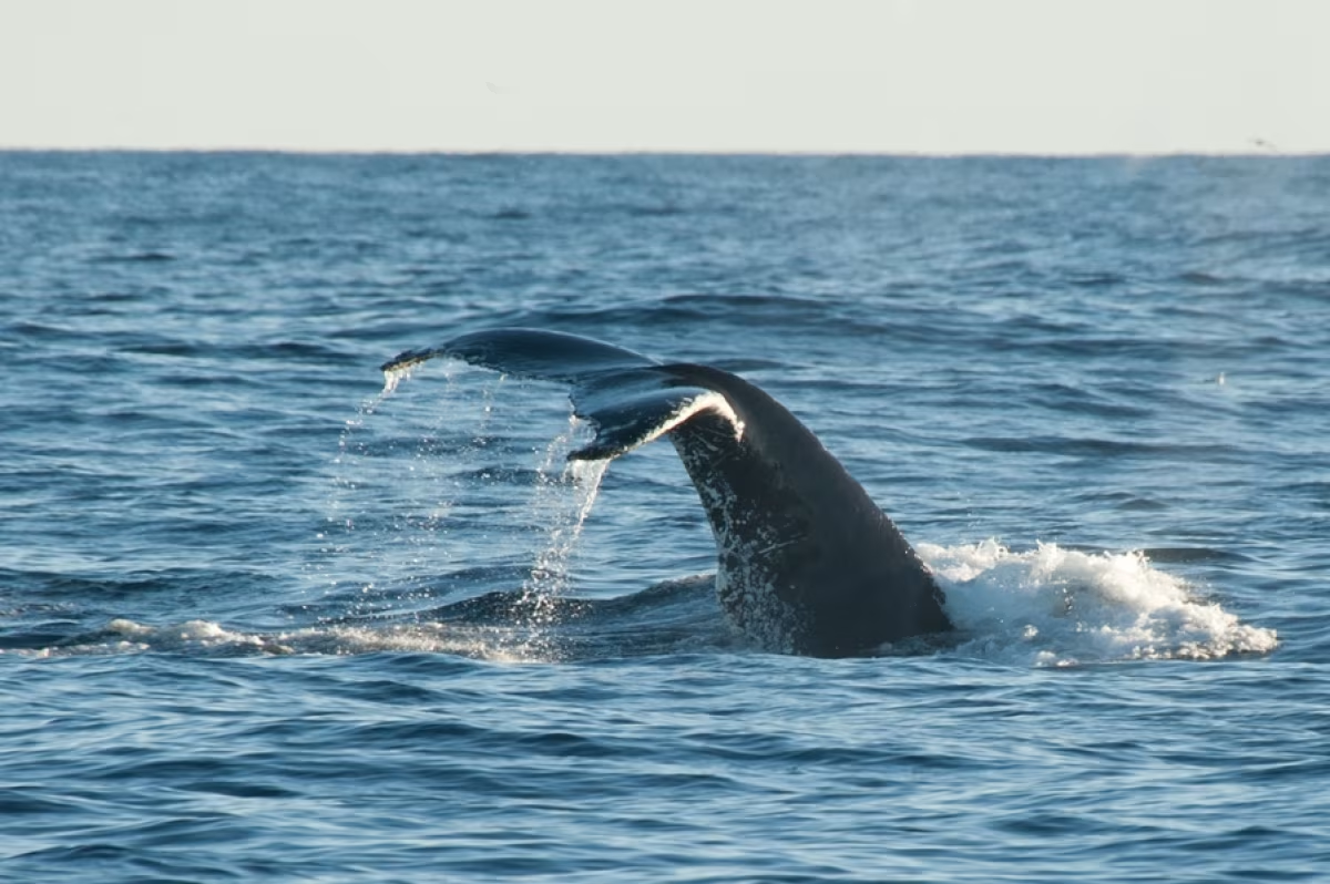
Scientists in Greenland attach satellite transmitters to their target species, which sends out a signal to National Oceanic and Atmospheric Administration (NOAA) satellites that circulate around the Earth at 850 km (528 miles) altitude. One trip around the globe takes about 102 minutes.
When the NOAA satellite passes over the animal, the satellite receives signals from the transmitter. This signal is used to calculate the animal’s place of residence within a few kilometres. For greater accuracy, the satellite needs to receive more than three signals from the transmitter during the 10 minutes it takes to move across the sky. After 10 minutes, the transmitter can no longer connect with the satellite.
GPS trackers can also be used to track animals down to a finer resolution, but they require more power, which means a larger battery (making them bigger and heavier).
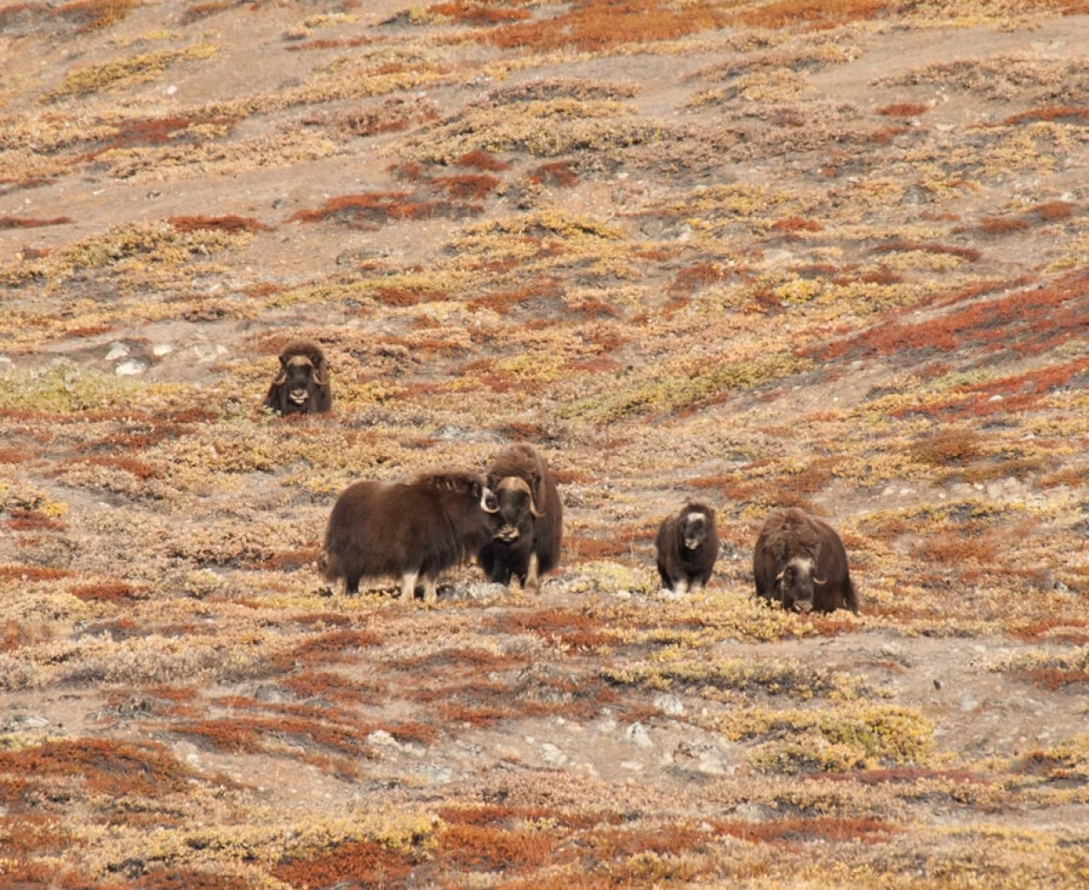
Greenland light loggers and location
Scientists can also track Greenland wildlife using light loggers, which use the daylight pattern to determine an animals’ position. The day length of a particular date is unique to a specific latitude – except during spring and autumn equinox, where day length is the same at all latitudes – so if you know the date and day length, it can be converted into one position. The logger saves a light measurement every two minutes together with the time of measurement. This means researchers can create a daily curve of the light intensity every day of the year, determining latitude and longitude.
Light loggers are a useful tool for scientists to track species, as they have a low weight (half a gram or 0.01 ounces), are relatively cheap, and use minimal amounts of power. By using low power levels, scientists can track the movement of an animal for a year or more. In one example, researchers tracked one animal for five years. However, the downside is that the animal has to be caught for data retrieval, and the accuracy of positions is not highly refined, with locations often out by around a couple hundred kilometres. As such, light loggers are best used for animals that travel over long distances. They are generally used on birds, and to a lesser extent on fish.
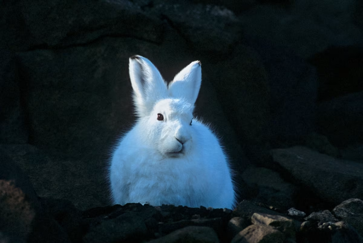
Spotting the trends of Greenland’s eiders
On your Arctic trip to Greenland or Spitsbergen, you will most likely encounter eiders. Biologists from the Greenland Institute of Nature tracked 32 of these birds using satellite transmitters at Nuuk. The data retrieved revealed that the coastal birds searched for food during the daylight hours, while in the twilight they swam 1—3 kilometres (0.62—1.86 miles) to find shelter for the night.
In contrast, eiders located in the fjords were found to have a different activity pattern. These birds rested during the day and only ate at night. The reason for this is that, during the daylight hours, eiders in these areas can become prey for eagles. By contrast, eiders in coastal waters have a plentiful supply of food in safe open waters and can hunt as they please during the daytime.
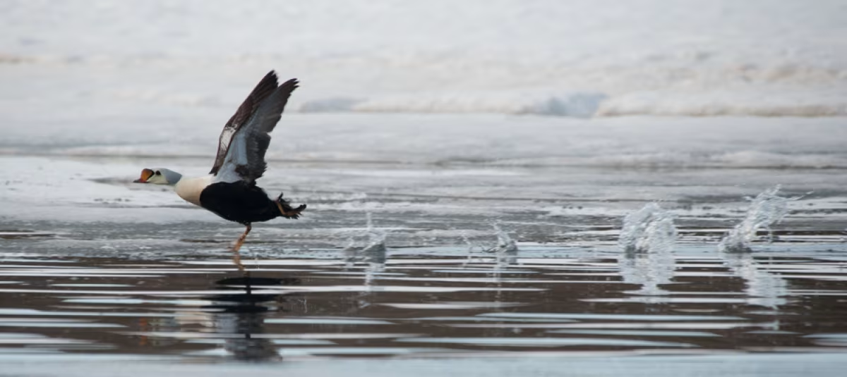
On the heels of the Brünnich’s guillemot
Researchers from Canada, Greenland, Iceland, and Norway have been monitoring the Brünnich’s guillemot for over a decade using light loggers. In Greenland alone, more than 100 of these birds have been labelled. The results to date show that, while nearly all of the West Greenland breeding stock heads to Canada to overwinter, a large number of these birds from Iceland and Svalbard arrive in West Greenland to overwinter.
One likely reason for this is that, in the late summer and early autumn, the birds are left to the whims of the ocean currents and so can only decide in part where to go. The birds in Baffin Bay head westwards to the Canadian coast, where they encounter a sea stream that takes the birds all the way to the fishing areas of Newfoundland. Meanwhile, the birds from Iceland and Svalbard are directed towards Eastern Greenland.
Following the red-throated diver
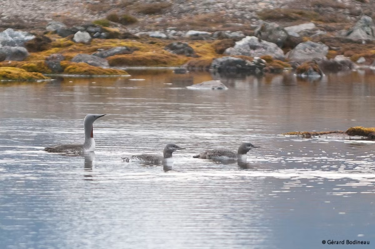
A team of researchers from Aarhus University attached a satellite transmitter to a red-throated diver in Northern Greenland to get an insight into where in the sea the bird was seeking food. The data provided researchers with two years’ worth of knowledge of the bird’s daily migration for food as well as its seasonal migrations between the breeding area and its winter residence.
The data showed that in autumn the bird flew to East Iceland, where it stayed for a few weeks before heading to the North Sea, and then down to its winter quarters along the southeast coast of England. Once spring had arrived, the bird flew north via Jutland, then stopped over in Iceland before making its way to the breeding ground in Northeast Greenland.
Eyeing Greenland narwhals from above
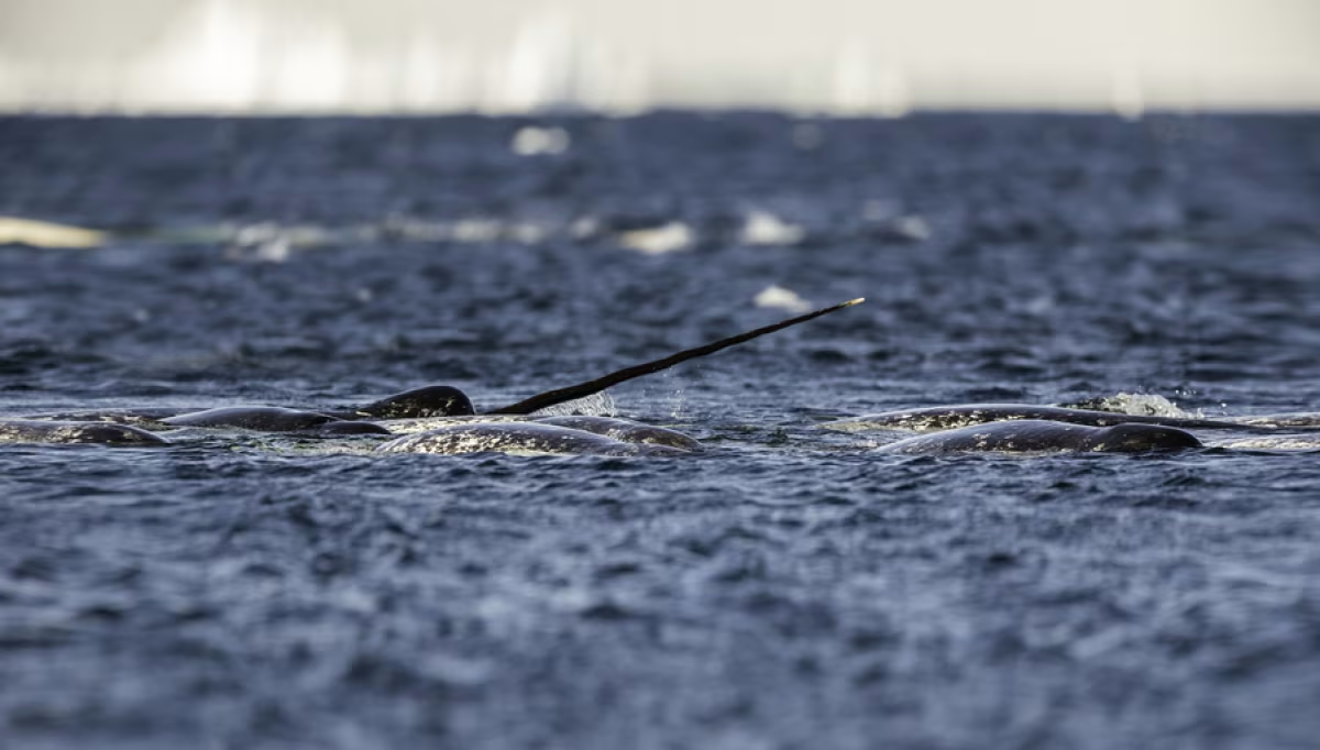
Satellite trackers have often been used on narwhals by way of hardy trackers, which can overcome the tough conditions of Greenland’s waters. The ice and cold affects the life of the batteries. Narwhals only stay for a short time at the surface and so give only a few seconds of contact with the satellite. Also, they deep dive to 2,000 metres (over 6,500 feet), which exposes the trackers to severe pressure. In addition, there are challenges of catching and fitting narwhals with trackers, as they are often in difficult locations to reach.
Satellite tracking data shows that the Scoresbysund narwhals prefer the inner parts of the area, but in October they wander out of the fjord. By early November, all the whales are out in the Greenland Sea. These whales spend the winter in the drifting ice on the continental shelf, not far south of the mouth of Scoresbysund.
