A glance back at the good old days of last year
Before the first month of the new year becomes a thing of distant memory, and with it everything that happened the year before, let’s take a quick backward glimpse at the defining polar research moments of 2017. According to the British Antarctic Survey (BAS), which led and was a part of a wide variety of research expeditions over the past year, these were 2017’s top 10 scientific highlights.
1. Scientists published a map of the sea floor below the Greenland Ice Sheet
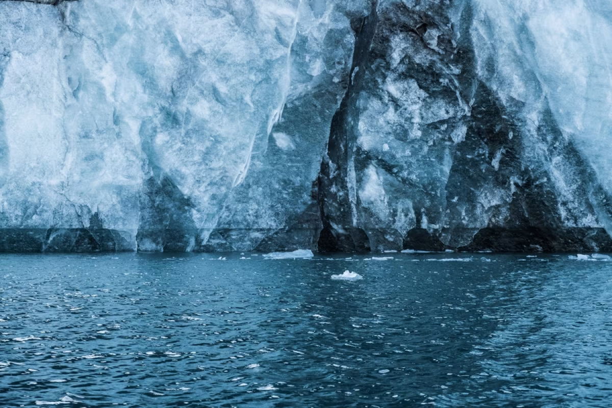
A new map was published revealing the bedrock and coastal sea floor beneath the Greenland Ice Sheet in high resolution. This 3D map, produced by polar researchers from BAS as well as the University of Bristol and the University of California at Irvine, was unveiled at the American Geophysical Union meeting in New Orleans. It has a scale of 1:3,500,000 and allows polar researchers to see for the first time the transition between the landmass and its adjoining seabed. Scientists found that many of the glaciers you can see, which drain the Greenland Ice Sheet, are thicker than previously estimated, with some up to 100 metres (328 feet) thick in places.
2. An Antarctic mountain was found to be taller than previously thought
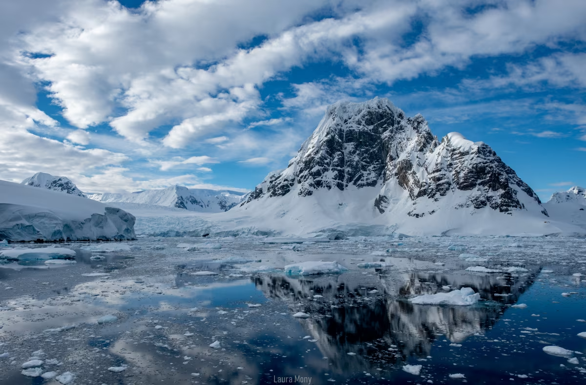
New satellite data revealed Mt. Hope on the Antarctic Peninsula to be 55 metres (180 feet) taller than Mt. Jackson and 377 metres (1,236 feet) higher than previously believed. This observation was made when polar researchers were updating planning maps for pilots operating in Antarctica. The old measurements were based on overland surveys. However, the new maps are now done using high-resolution satellite measurements that have an accuracy within 5 metres (16 feet). This greater accuracy increases the safety of flying in Antarctica, which is difficult even under the best of conditions.
3. Polar research on Antarctic krill larvae was completed
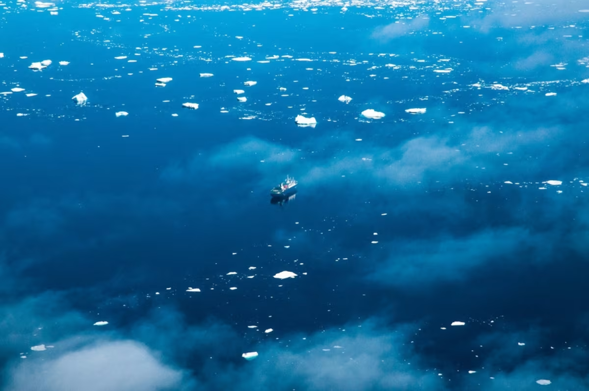
An international team of polar researchers have found how Antarctic krill larvae use sea ice to ensure their development and survival through the harsh winters in Antarctica. BAS scientists, with their peers on board the German RV Polarstern, observed krill larvae over the winter period. Divers took video footage under the ice and also collected larvae for studies on board. The scientists also collected data on the physics and biochemistry of the ocean and sea ice, enabling a fuller picture of the survival strategies krill larvae use. This polar research found that pack ice provided an important refuge for the larvae, as it was free of predators.
4. Heat fluxes from Earth’s interior were mapped
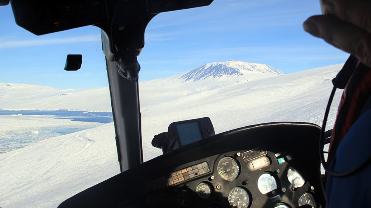
Conducting polar research in Antarctica, a team lead by BAS scientists have created a new map showing how much heat from the Earth’s interior is reaching the base of the continent’s ice sheet. The high-resolution map of the “geothermal heat flux” increases polar researchers’ knowledge of this poorly understood system. The map was created using data from magnetic measurements collected from aircraft flying over Antarctica. Visitors on a cruise to the continent may feel a little warmer in parts, as hot spots were discovered under West Antarctica and the Antarctic Peninsula. The creation of the map was by no means easy, since direct measurements of the heat from the Earth’s interior is made difficult due to the 3 – 4 km (1.86 – 2.48 miles) of ice that covers the surface. Because of this, scientists have used magnetic data to locate the heat, and this has led to a map with 30 – 50 percent greater accuracy than previous studies.
5. New polar research shed light on marine snail houses in the Arctic
For nearly a half century, scientists have been puzzled as to why sea shells from warm waters are larger than their cold-water cousins. New research conducted by the ARC Centre of Excellence for Coastal Reef Studies at James Cook University in Australia with BAS input have found that it all comes down to “housing cost”. Using a massive data set that spans 16,000 km (9,941 miles) from the waters of Svalbard to Singapore, scientists found that sea snails are very tight with their investments in housing, using less than 10% of their energy in shell growth. This polar research showed that in cold water the snails had to work harder at building their shells, and so, to be more economical with their energy, they “built smaller houses”. To build their shells, the marine species must obtain raw materials from seawater, known as biomineralisation. However, the availability of these resources is influenced by temperature, making them more easily available in warmer waters.
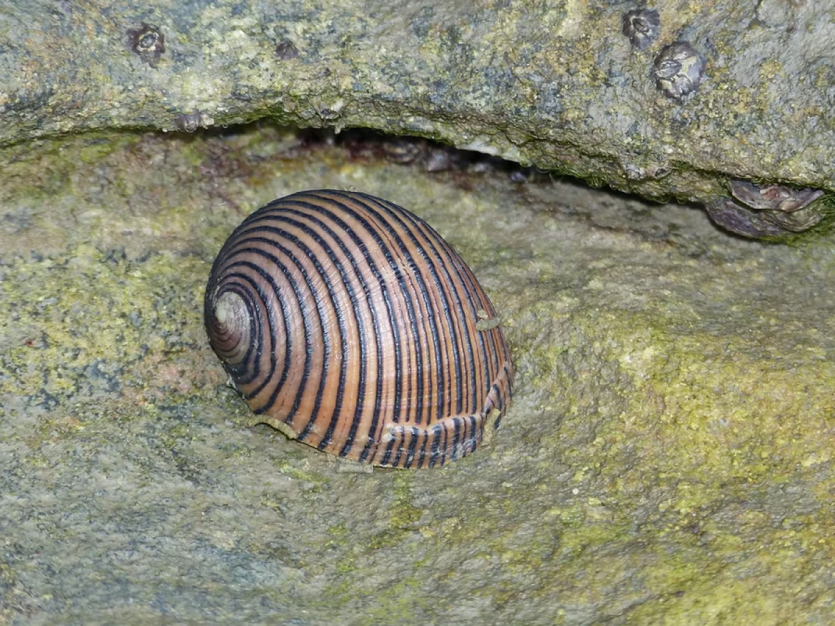
By Bernard DUPONT from FRANCE (Sea Snail (Nerita balteata)) [CC BY-SA 2.0], via Wikimedia Commons
6. Preparations began for an advanced Arctic space radar
The most advanced space weather radar is being built in the Arctic by an international partnership involving BAS support. The EISCAT_3D radar will provide polar researchers with a tool to probe the upper atmosphere and near-Earth space, helping them understand the effects of space weather storms on technology, society, and the environment. Solar storms are the drivers of space weather, and one of the largest challenges in space weather science is improving the understanding of how the Earth’s magnetic field and atmosphere responds to it. A key part of the radar is being able to measure an entire 3D volume of the upper atmosphere in unprecedented detail, enabling researchers to understand how energetic particles and electrical currents from space affect both the upper and lower atmosphere.
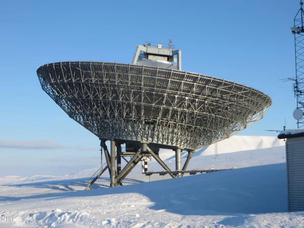
By Bernt Rostad from Oslo, Norway (EISCAT Svalbard radar) [CC BY 2.0], via Wikimedia Commons
7. Polar researchers learned how moss crossed the Equator
Mosses are the dominant flora in Antarctica, yet scientists know very little about when and how they got there. Around 45% of Antarctica’s moss is found only in regions in the high latitudes of both hemispheres, with almost no presence in the tropical regions. This lack of continuous distribution from the low to high latitudes has been a puzzle – even Charles Darwin puzzled over it. Researchers from BAS as well as the universities of Cambridge, Helsinki, and Turku investigated this “bipolar” pattern in four common moss species, finding that the driver of these patterns was long-distance dispersal. They believe that this is due to a spore or other reproductive part crossing the equator via winds or animals such as migratory birds. Three out of four of the species were found to have moved from the north to the south, with the fourth moss found in the Northern Hemisphere found to have come from the Antarctic region. In addition, the scientists found that all the mosses had been present in Antarctica well before the Last Glacial Maximum (LGM, which took place 18,000 – 20,000 years ago) and previous glaciations.
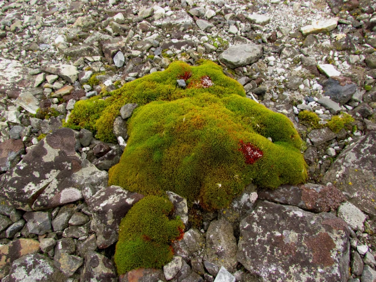
By Carloszelayeta (Self-photographed) [GFDL or CC BY-SA 4.0-3.0-2.5-2.0-1.0], via Wikimedia Commons
8. Evidence of ancient sub-glacial lakes was found in Antarctica
Further polar research found evidence that large sub-glacial lakes existed under the West Antarctic Ice Sheet during the last glacial period around 20,000 years ago. Using geochemical techniques to analyse water trapped inside sediment cores recovered from the sea floor of Pine Island Bay, the studies concluded that the area once had several sub-glacial lakes. The chloride content in the water locked within the sediment indicated that the sediments were deposited in a freshwater lake under the ice sheet. This find confirms earlier data gathered from acoustic surveys that indicated that deep basins and meltwater channels had eroded the hard rock.
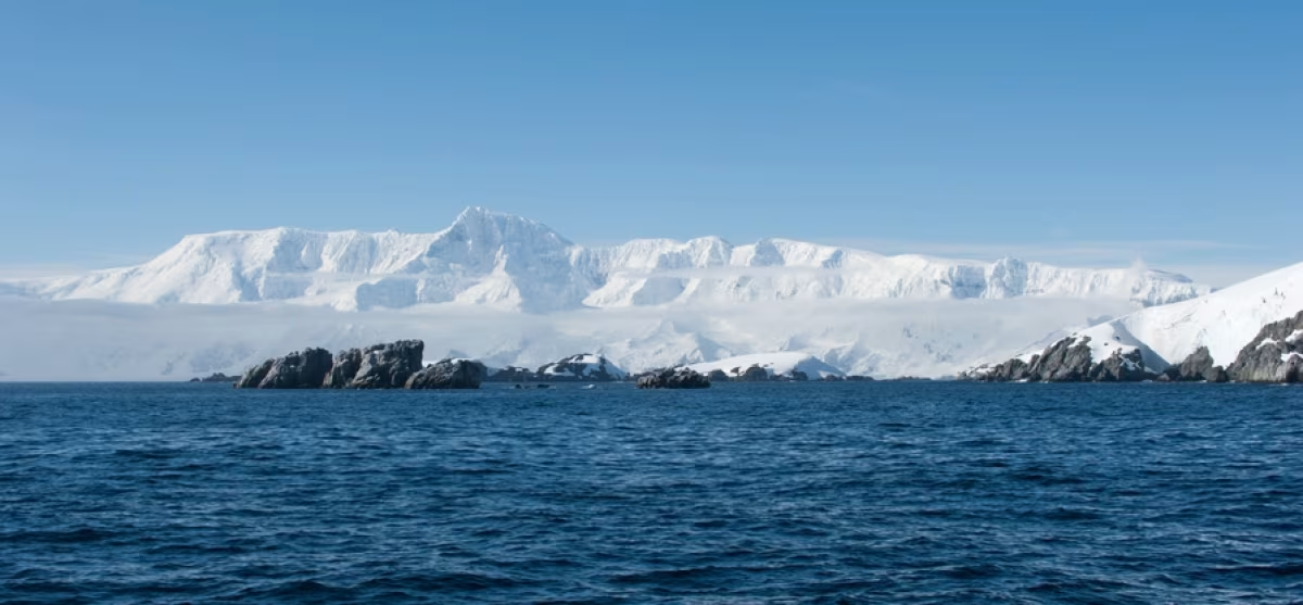
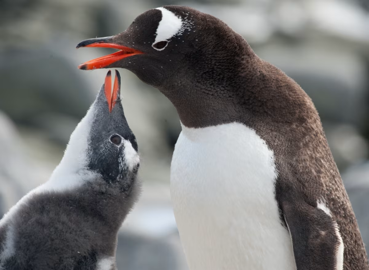
9. Scientists concluded the most comprehensive study into the penguin diet
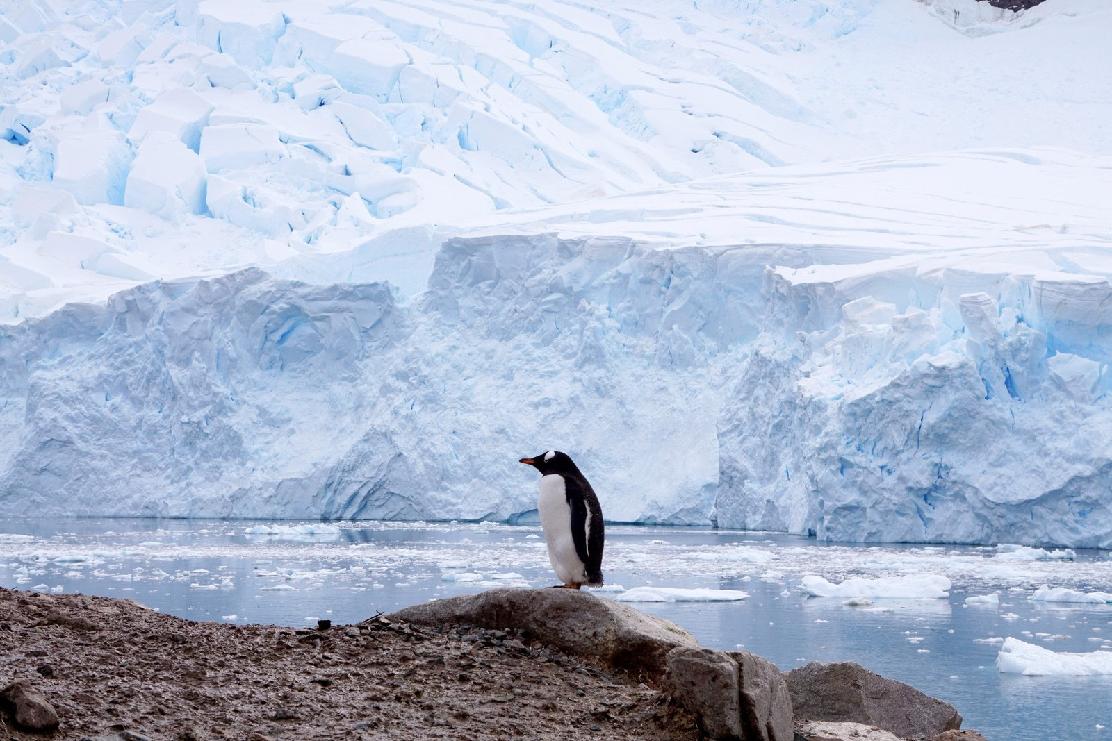
Polar researchers recently finished a 22-year-long study into the diets of gentoo penguins at Bird Island, South Georgia. They found that these penguins, one of the chief attractions of a South Georgia cruise, eat roughly equal amounts of crustaceans (Antarctic krill) and fish. They also eat 26 other different prey species, including squid, octopus, and 17 species of fish. The composition of their diets also varied, with krill being the dominant food during 10 years of the study and fish during 12 years. Successful breeding was found to be strongly correlated to the amount of krill in the diet, with few chicks fledging in years when krill was scarce.
10. The hunt for Antarctic meteorites began
Scientists from the University of Manchester, with operational and logistical support from BAS, launched the first UK-led meteorite hunting expedition to Antarctica to find clues about how planets are formed. The aim of this polar research expedition is to find more under-represented iron meteorite samples, as these are formed from the cores of planetesimals, small planets later destroyed by planetary impacts. Though you are unlikely to spot these meteorites during your own Antarctic trip, there’s no harm in keeping your eyes open!
