| Datum: |
18.02.2024 |
| Positie: |
65°06,9'S / 64°03,3'W |
| Wind: |
N-2 |
| Weer: |
Bewolkt |
| Luchttemperatuur: |
0 |
We werden om 7 uur 's ochtends gewekt door Michael. We stonden op het punt het Canal Lemaire over te steken. Een uniek en niet te missen gezicht. Het Lemaire Channel is een smalle doorgang aan de westkust van Danco op het Antarctisch schiereiland, in het oosten begrensd door het vasteland en in het westen door Booth Island. De omringende bergen stijgen tot meer dan 1000 meter. De nauwe vaargeul zorgt voor nauwgezette en indrukwekkende navigatie. Meer dan dertig minuten lang stonden we allemaal op de besneeuwde bruggen te genieten van het schouwspel.
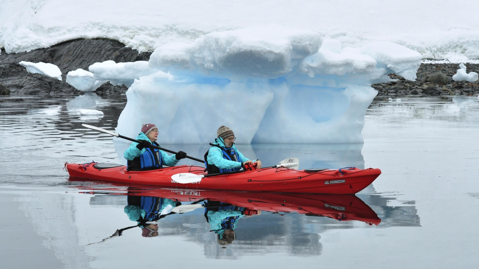
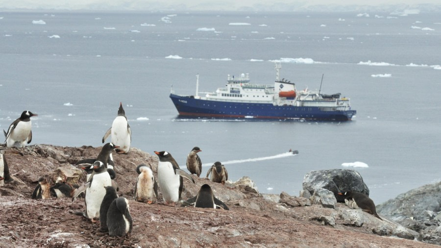
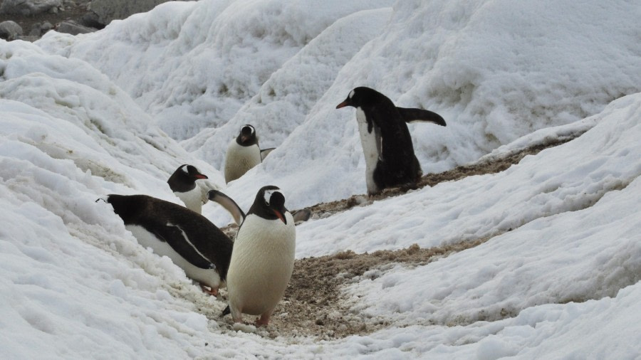
Na een goed ontbijt maakten we ons klaar voor onze activiteiten. Bergbeklimmen, kajakken en zodiac cruises stonden op het programma in Girard Bay, ten zuiden van het Lemaire kanaal. Het weer was bewolkt maar niet erg winderig en het water in de baai was een glasachtige mengeling van brokstukken ijs en bergijs en kleine tot middelgrote ijsbergen, variërend van blok- tot koepelvormig, pinakels en droge dokken. Al snel zagen we een Adéliepinguïn op het ijs, de derde pinguïnsoort die we de afgelopen dagen hebben ontdekt. Zwart-wit met een witte ring rond het oog.
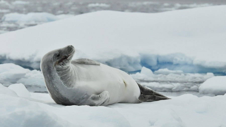
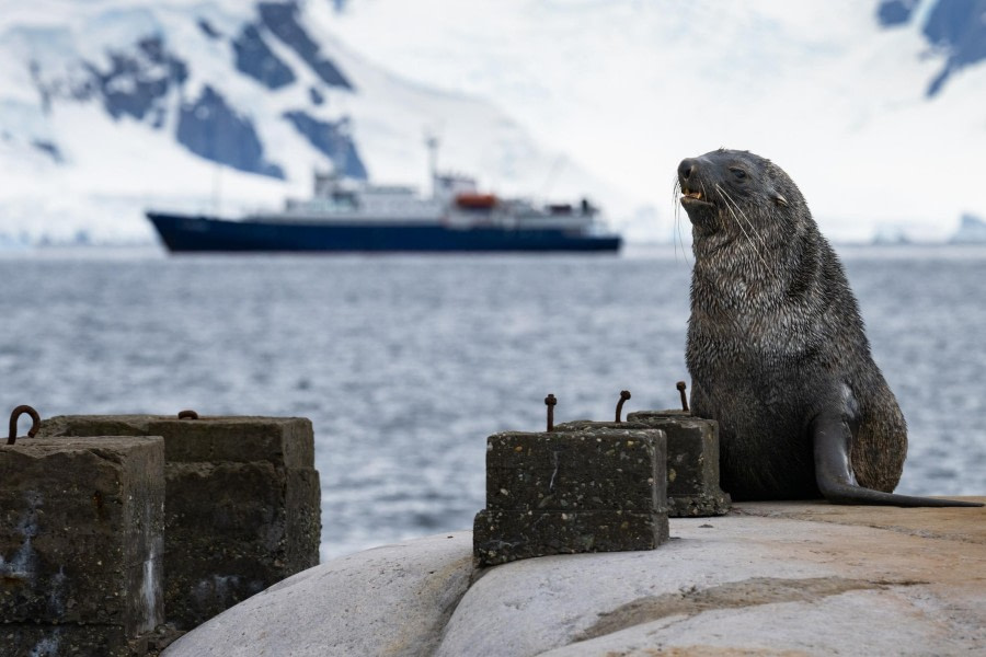
Verderop lag een Krabbeneter zeehond te rusten. In tegenstelling tot zijn naam eten deze zeehonden geen krabben, maar voornamelijk krill. Ze hebben een specifiek stel tanden en hun kaken werken, eenmaal op elkaar geklemd, als een zeef. De zeehonden zijn dan in staat om het zeewater uit te spugen terwijl ze de elementen van hun maaltijd, krill en kleine visjes, behouden. Het licht op de gletsjer was fantastisch en we voeren door het ruwe ijs om dicht bij de Vaal Stormvogeltjes's te komen. Massief, met een sterke kaak en vlekken op zijn huid, is dit eenzame zeezoogdier een roofdier van de pinguïns.
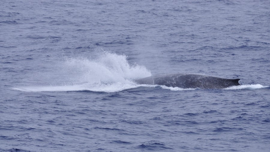
We voeren een flink stuk langs de rand van de gletsjer, die bekend staat als de Leay-gletsjer, toen kregen we de kans om een jonge Bultrug tegen te komen. Ze kwam dichter bij ons voordat ze dook en haar staart liet zien.
Na de lunch, die altijd gewaardeerd werd aan boord, gingen we van boord op het eiland Yalour. Dit eiland, dat heel anders is dan de vorige plekken die we bezochten, herbergt veel mossen en een paar soorten vaatplanten, waaronder het Antarctic Hair Grass. De sneeuw die het grootste deel van het eiland bedekte, kreeg een rode of groene kleur, typisch voor deze plek. Op het eiland leven ook kolonies Adéliepinguïnen. Jonge pinguïns, nog in hun donsveren, bogen hun vleugels en maakten gebaren. Anderen stonden erop om een van hun ouders om eten te vragen. De Reuzenstormvogel hield de wacht en vloog verschillende keren over de kolonie, ongetwijfeld in een poging om een jong te bemachtigen dat alleen gelaten werd.
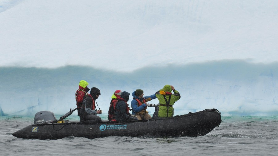
De namiddag was ook een gelegenheid om een zodiac cruise te maken tussen de omliggende eilandjes en ijsbergen. Het weer was bewolkt, maar de ervaring was aangenaam. We konden Zuidpoolsternen van dichtbij zien en, als we geluk hadden, een walvis die nieuwsgierig was naar onze activiteiten.
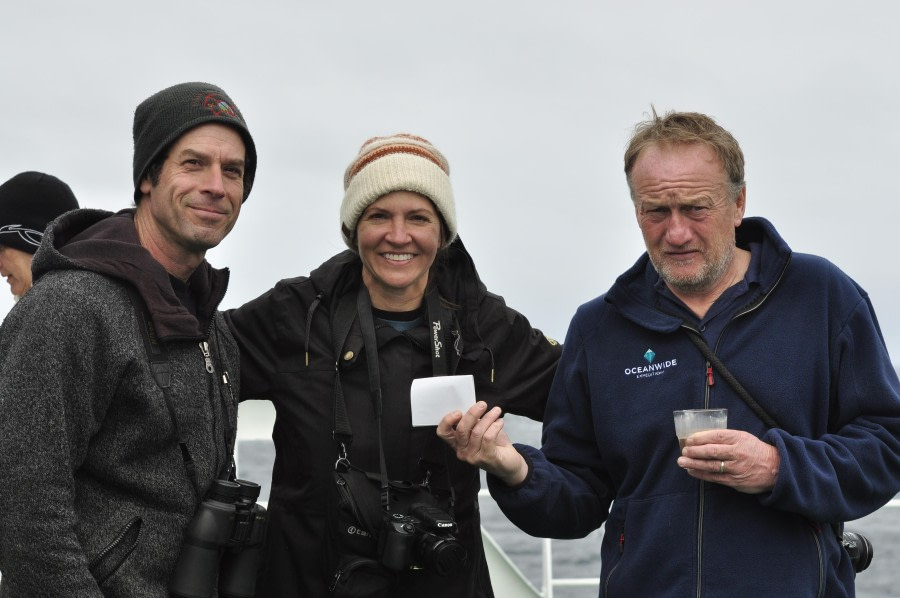
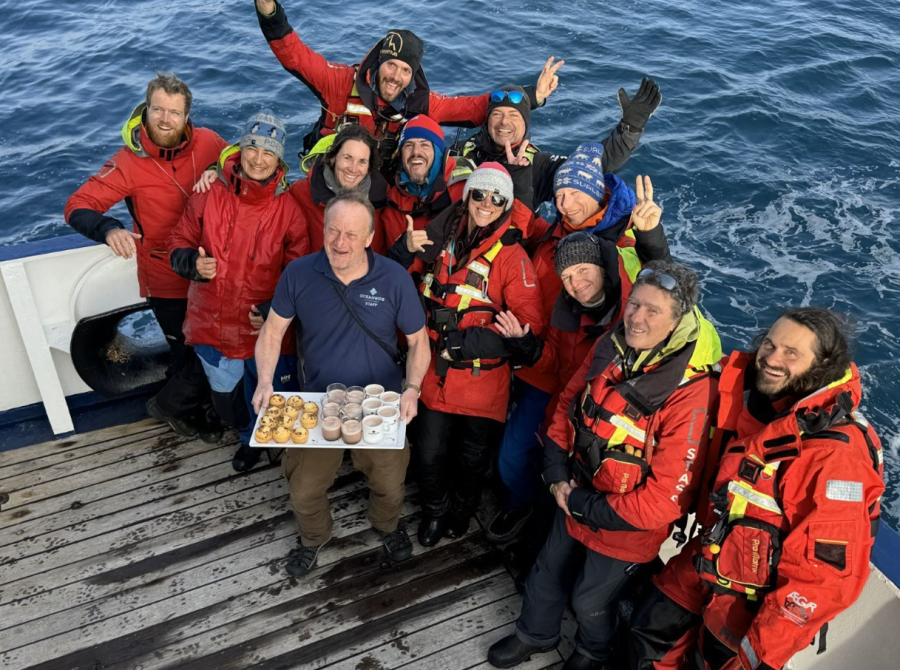
Terug aan boord gaven Michael en het expeditieteam ons wat inzicht in het schema voor de volgende dag; Koen gaf ons een presentatie over fotografie en Elke over het citizen science programma met de Happy Whales en pinguïnkolonie-tellingen. Daarna werden we uitgenodigd om ons warm aan te kleden voor het diner op het achterdek! Er stond een barbecue op ons te wachten, net als een heus buffet, met een prachtig uitzicht over het Lemaire-kanaal waarin we beschut zaten voor de avond. Muziek en dans zorgden voor een levendig einde van de avond.
BERGBEKLIMMEN
Locatie AM: Hovgaard Eiland
Onze bemanning werd vanochtend wakker voor een prachtige ochtend met laaghangende bewolking en een vroege start met de verbazingwekkende doortocht door het Lemaire-kanaal en over naar Hovgaard en Pleneau-eiland.
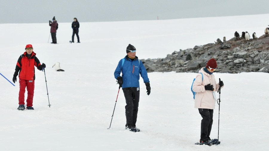
Bij kalme wind en aangename temperaturen gingen we aan land en klommen we naar de gletsjer langs een aantal Skua-nesten met kuikens. We waren gewaarschuwd door de ouders en we klommen verder naar links op een lastiger terrein om ze de ruimte te geven.
We hadden een heerlijke, echte Antarctische bergervaring, hoewel hoe hoger we klommen, hoe minder zicht we hadden. We klommen letterlijk in de wolken totdat de 2 groepen elkaar niet meer konden zien op 100 meter van elkaar. We bereikten de hoge col van Hovgaard en keerden terug via een lus naar het strand en pikten een paar foto's op van de kuikens van de Skua's die de ouders nu graag toelieten.
Locatie PM: Kaap Tuxen
In de namiddag ging ons team op een verkennend "avontuur" (de betekenis hiervan is een onderneming met een onbekende uitkomst). Op weg naar Kaap Tuxen, tegenover de Yalour-eilanden, waar noch Massimo noch Dave/Gnarly, onze gidsen, ooit waren geweest.
Met een aanloop van 2 zeemijl, voornamelijk door dik pakijs, rolden de dobbelstenen tot het moment dat we in een ijsvrije baai uitkwamen met een perfecte strandlanding.
Gemakkelijke sneeuwschoenwandelingen leidden ons naar een bankje en toegang tot een erg gave gletsjer, omringd door vele enorme ijsrotsen en gletsjer cirques. Oh ja, dit was ons eerste continentale land op Antarctica!
Een geweldig dagje uit.
KAYAKEN
Locatie AM: Hovgaard Eiland, Straat van Penola
De weersomstandigheden waren de laatste tijd niet best, dus we besloten om van deze ochtend zonder neerslag te profiteren om het in twee rondes te doen, eerst met de Taiwanese groep en daarna met de Spaanse groep.
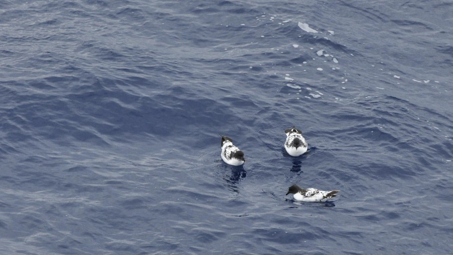
We hadden de kans om langs de kustlijn te peddelen en alle soorten zeevogels van heel dichtbij te zien: Kelpmeeuwen, Subantarctische Grote Jagers, Antarctische Stormvogelen, een grote Reuzenstormvogel die voorbij kwam en tot slot een aantal pinguïns die rond de kajaks zwommen.
Aan het einde van de sessie was de verrassing van drie Weddellzeehonden perfect om ze in stilte te benaderen en de patronen van de vacht en enkele details van heel dichtbij te bekijken.
Locatie PM: Yalour-eilanden
Opnieuw waren de weersomstandigheden uitdagend, wat neerslag tijdens het uitje maar de zeecondities waren goed om door te gaan. We peddelen tussen een aantal ijsklompen door, veel drijvende ijsbergen en een aantal prachtige en massieve ijsbergen in de verte.