


| Datum: | 11.08.2022 |
| Positie: | 76.14 6N, 014.56.5E |
| Wind: | NW 3 |
| Weer: | Bewolkt |
| Luchttemperatuur: | +11 |
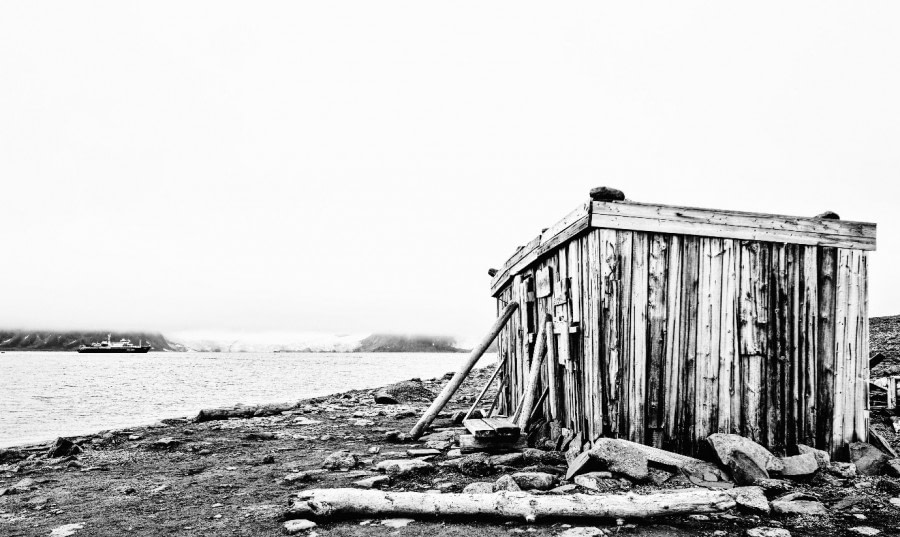
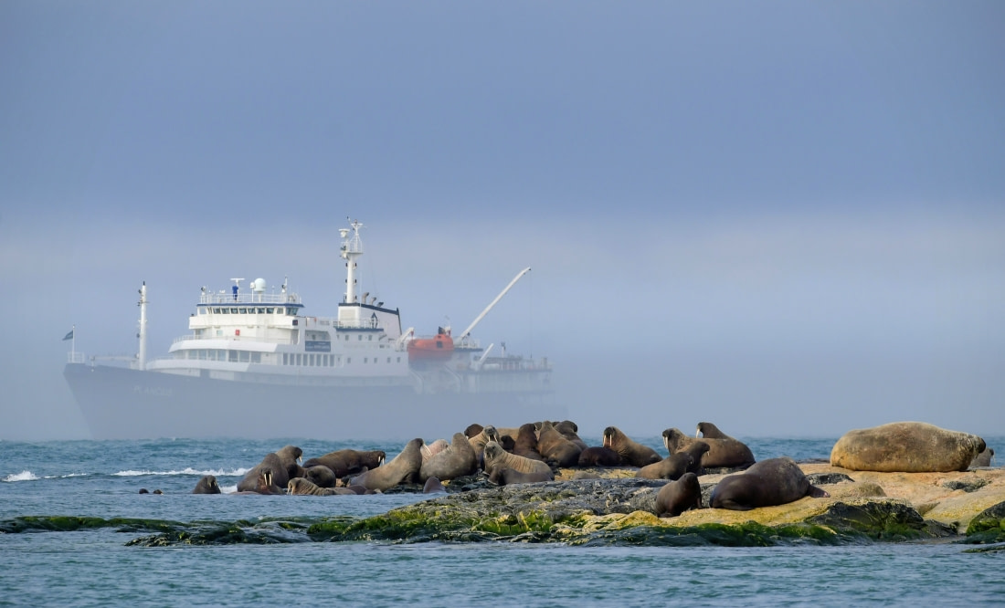
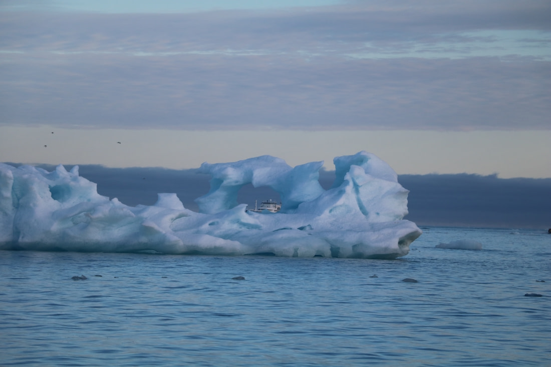
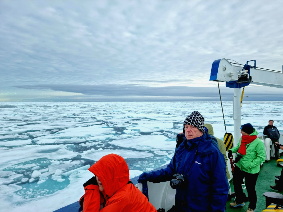
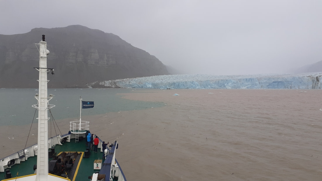
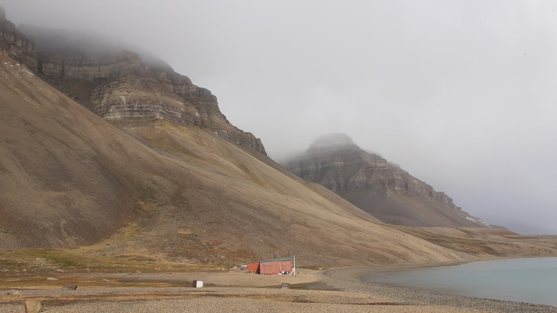
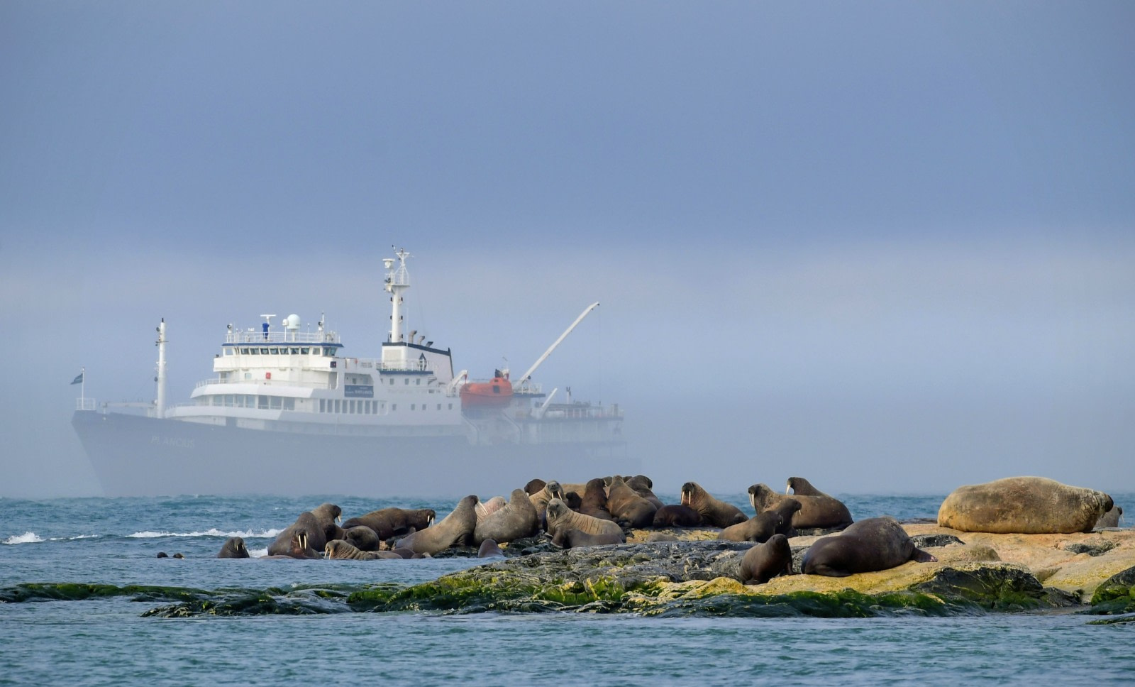
In de namiddag begonnen de passagiers aan te komen bij wat echt "een authentieke plek" genoemd kan worden: de kolenhaven van Longyearbyen. Deze haven staat op het punt om gesloten te worden, aangezien de kolenwinning in de enige overgebleven mijn van Spitsbergen - die de plaatselijke elektriciteitscentrale bevoorraadt - over een paar jaar zal worden stopgezet en de kolen zullen worden vervangen door een milieuvriendelijkere brandstof. Eenmaal aan boord begonnen de passagiers kennis te maken met het schip en werden ze al snel uitgenodigd voor een algemene introductie. Een veiligheidsbriefing werd gevolgd door een "abandon-ship" oefening: het alarmsignaal klonk, we namen onze reddingsgordels mee naar de lounge en inspecteerden de reddingsboten. Na een welkomstwoord van onze kapitein Yevgeni brachten we allemaal een toost uit op een goede cruise. Daarna was het tijd om te genieten van het diner dat was bereid door de chef-kok en zijn team. De meesten van ons gingen vroeg naar bed na een lange reisdag, maar sommige dappere passagiers genoten tot diep in de nacht van de gletsjers bij Prins Karl's Forland.